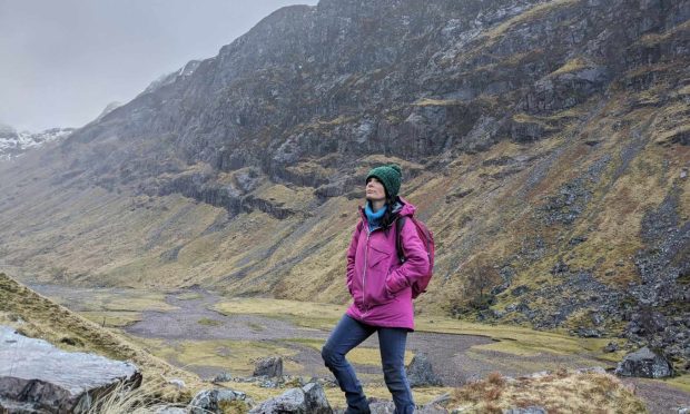
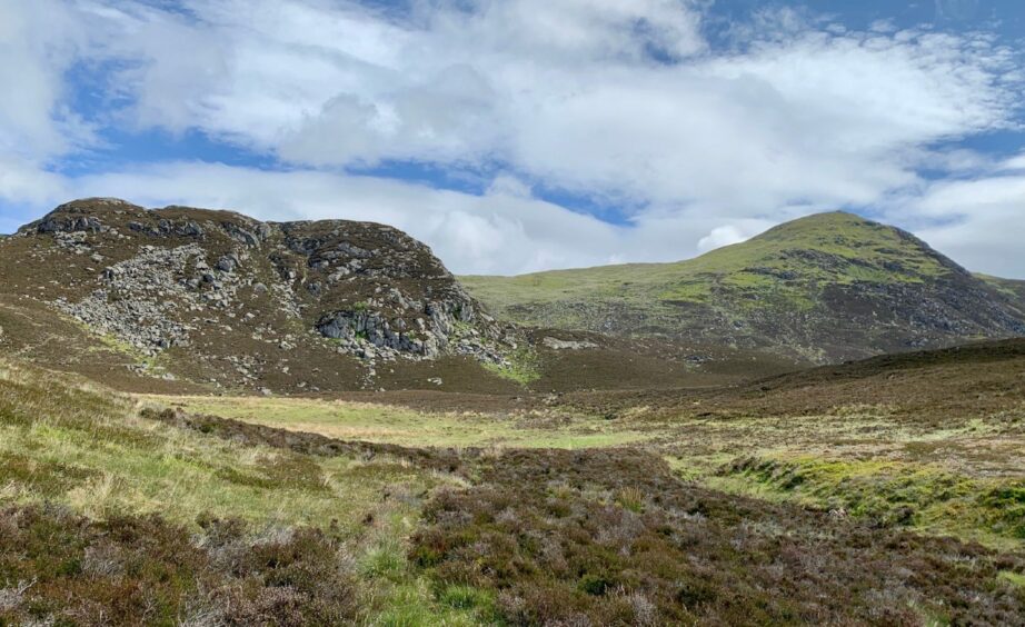
Bealach Path, Pitlochry, Perth & Kinross
Ben Vrackie is Pitlochry’s hill, a familiar sight to anyone travelling on the A9. Most who have stood at the summit will have reached that point via the well-trodden path from the car park above Moulin.
For a slightly different take, it’s worth incorporating that path into a fine circuit from Pitlochry with a return through the woodlands along the River Garry.
Good transport links and a variety of parking options mean you are spoiled for choice for a starting point; just make your way west through the centre of the town until you reach Larchwood Road and a sign for Pitlochry Paths.
The whitewashed building with the red corrugated roof to the left is Sunnybrae Cottage, once a public house and the scene of a bizarre tragedy in 1767. An information board tells how a certain Donald Stewart accidentally killed his cousin John with a knife during a scuffle. He is said to have watched the funeral procession from his hiding place before fleeing abroad where he remained for a number of years.
The road climbs and twists to reach a duck pond, then trends right past the entrance to the golf club before snaking past fields of sheep and old outbuildings complete with swooping swallows to emerge at a t-junction. Left takes you to Craigower, right down towards Moulin.
I went right, then turned left at the end of the road, passing the lower car park for Ben Vrackie and continuing on to the higher car park where the hill path is picked up. Stick to the road: don’t be tempted by what looks like a grassy path heading out of the lower car park – it leads nowhere.
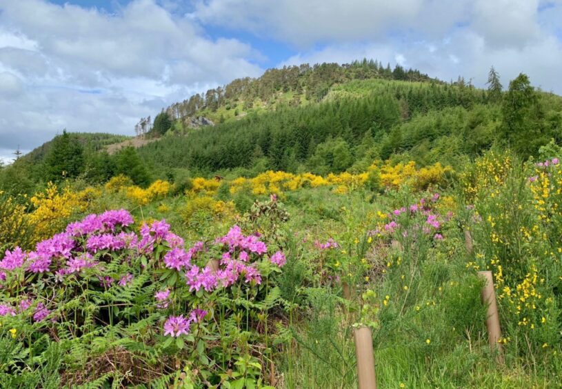
It’s a steady plod upward on the hill path. My walk was coloured beautifully by interspersed yellow gorse and fuschia pink rhododendron. At one point, a little roe deer wandered nonchalantly across my line of sight, seemingly unaware of my presence.
I emerged from the treeline into a brisk breeze, a temperature shock to the system after the confined warmth of the last 20 minutes. The path became more heavily eroded, almost trench-like in places, the popularity of the hill very much in evidence.
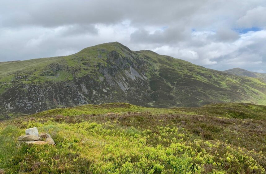
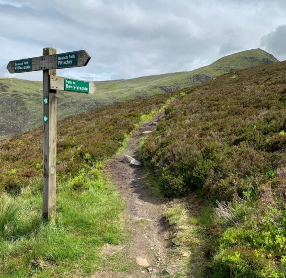
Just beyond two bench seats, there is a fork in the path and a signpost. I went left, heading for the Bealach na Searmoin (the pass of the sermon). From the high point, it’s worth making the short push through heather to the top of Meall na h-Aodainn Moire for the fine view over to Ben Vrackie.
The mountain is the dominant feature on the descent, its long and in places rocky north-west ridge with you all the way as you zig-zag downhill quickly on the now grassy track. There’s a stream to cross: most of the time it’s a step-over but there is a little bridge nearby.
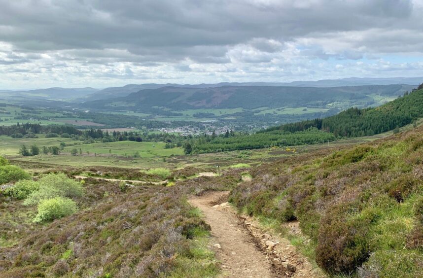
After passing a water treatment plant, the route emerged at a surfaced road and I followed it past fields and various buildings to pass under the A9 and come out at Killiecrankie. The path to the right of the visitor centre led down steps to shadow the River Garry through woodland and further down, the River Tummel, before reaching Loch Faskally.
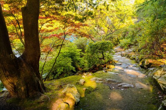
I re-entered the trees at lovely Loch Dunmore, and worked my way along the wooded shoreline until reaching the Clunie footbridge, passing to its left to reach the boating station and cafe before a final right turn led me back up into Pitlochry.
ROUTE
1. Head west from town centre and turn up Larchwood Road (signed Pitlochry Paths), follow round to left and then up Golf Course Road to duck pond. Head right past golf club entrance and continue on minor road until reaching T-junction.
2. Take a right heading down to Moulin then first left, passing lower Ben Vrackie car park. Continue to higher car park, enter and take signed path heading through woods.
3. After emerging from trees, go through gate and take path uphill until reaching two seats. Just beyond these, turn left at signpost and climb to top of pass.
4. Descend on good path, crossing one small stream (bridge if needed) to reach metal gate. Go through and, further on, another gate in wall, before turning left on grassy track.
5. Pass water treatment works to emerge on minor road. Turn right and follow this downhill, passing entrance to holiday houses and going under A9 to reach B8079.
6. Cross and take path to right of Killiecrankie visitor centre which follows the River Garry. Ignore suspension bridge on left and continue on woodland path signed for Pitlochry, passing Faskally House (on left) and power station (on right) to reach Loch Faskally.
7. Walk along minor road briefly before turning right past Loch Dunmore and follow woodland track or paths until reaching Clunie footbridge. Don’t cross, pass under A9 bridge and follow path round to boating station.
8. Turn right going uphill on minor road, passing entrance to Green Park Hotel, to emerge on main road through Pitlochry.
INFORMATION
Distance: 15.5km/10miles
Ascent: 678m/775ft
Time: 4.5-6.5 hours
Grading: Long, well-signed circuit with one sustained ascent over high pass on hill and woodland paths, farm tracks and minor roads, including some pavement walking. Suitable for those with reasonable levels of fitness, but likely too much for younger children. Muddy in places, exposed tree roots which could be slippery when wet. Sturdy footwear recommended. Dogs under close control due to farm livestock and ground nesting birds.
Start/finish: Pitlochry town centre (Grid ref: NN 936582), various car parks and off-street parking.
Map: Ordnance Survey 1:50,000 Landranger Map 43 (Braemar & Blair Atholl) and 52 (Pitlochry & Crieff); Ordnance Survey 1:25,000 Explorer sheet 49.
Tourist Information: VisitScotland, Pitlochry iCentre, 22 Atholl Road, Pitlochry, PH16 5BX (Tel 01796 472215).
Public transport: Regular bus and train services to Pitlochry.