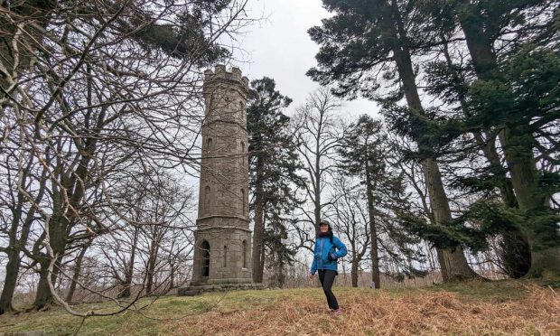
Dura Den circular, Cupar, Fife
It’s a well-worn scenario, the desire to head west tempered by persistent wind and rain while the sun is splitting the sky in the east.
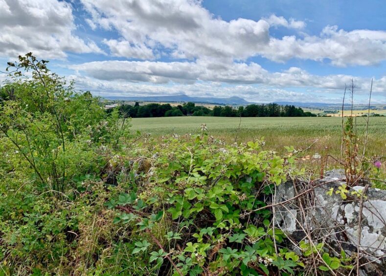
So instead of the blustery greys of Caol I found myself in Cupar, the historic county town of Fife, where there is a fine choice of walks to be enjoyed following the purple arrow markers of the core path network.
The circuit I chose would lead in an anti-clockwise loop through the pretty wooded gorge of Dura Den before coming full circle via a series of farm lanes and tracks. The route is generally well signed, but there are places where it would be easy to miss the connections.
The first obstacle was encountered shortly after leaving Fluthers car park. Trying to cross here needs patience, even with the controlled crossing: it always seems to be rush hour on this section of road.
Safely on the other side, I walked past the war memorial, then the rail station, and crossed the bridge to South Road where I encountered the second possible hold-up – the Fisher and Donaldson cafe. If you can avoid the urge to break off for a fudge doughnut, the rest of day will be a breeze.
After passing the cemetery, a path on the right led into Owlet Wood. This is known as the Moor Road, an ancient route which was once the main track across the moor to Ceres, and which is now a link to the Fife Pilgrim Way. This mixed woodland was so named due to the presence of tawny owls. There are also signs of badger activity along the sides of the path.
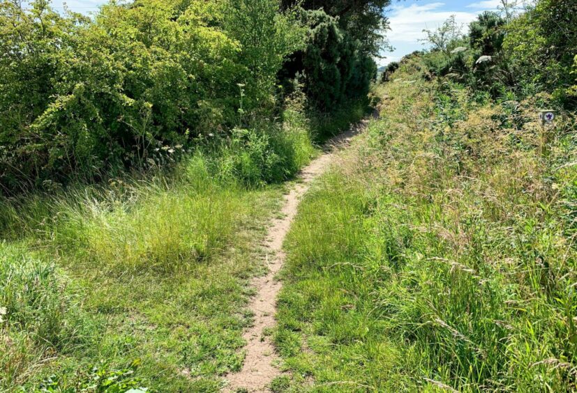
The path continued out of the trees alongside fenced fields. You need to keep an eye out for the next turn to an overgrown path on the left as the marker post is buried by rampant vegetation.
Once out of the undergrowth, I walked down a farm lane, turned left along the road, and then opposite Woodside Farm went right on another grassier track heading towards Cairngreen Wood.
This area is used for airsoft gun games and if a red flag is flying make sure you don’t stray from the path. It’s better to stay with it anyway as it sticks closely the right-hand edge of the trees until reaching a faded signpost for Dura Den.
The next section uses field edges before emerging on the Pitscottie road. Once across, I headed back into the trees to find a small wooden bridge. This led around more field edges before coming out at a gate into a housing development.
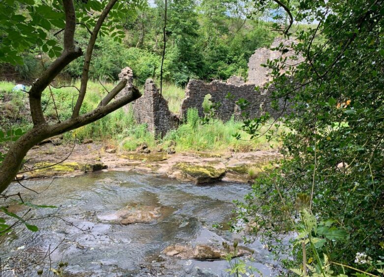
It felt strange to suddenly be walking on a solid surface between houses, but it was short-lived and led to a wooden bridge over the Ceres Burn and the road through Dura Den.
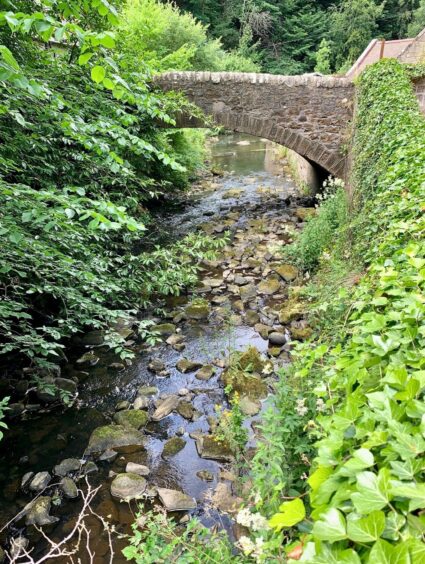
There was a short section of road walking which needed care before I hit the pavement where I could relax and enjoy the encroaching greenery, tumbling waters and charming little bridges to my left until the road swung round to reach the stone road bridge over the River Eden near Dairsie Mains.
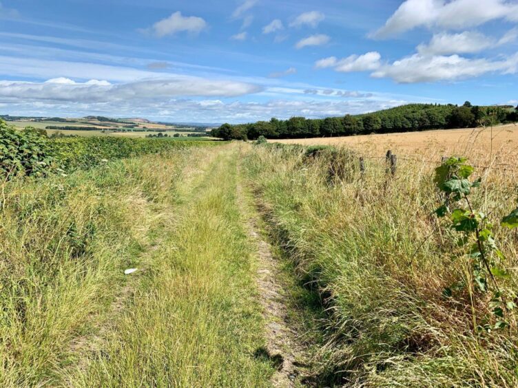
From here on in the route was straightforward along a series of lanes and tracks with one road crossing before one final left turn led me downhill into Cupar.
ROUTE
1. Exit car park by main entrance and cross A91. Pass war memorial and head up Station Road, cross bridge to South Road then go along past supermarkets and turn left onto Ceres Road.
2. Pass primary school and shortly beyond cemetery take path on right (signed: Footpath to Ceres) and head uphill through wood.
3. After emerging from trees, path runs along field fenceline until reaching core path sign (purple arrows) on right. Go left on overgrown path to farm lane and walk down to road.
4. Turn left for short distance, then right on track opposite Woodside Farm and continue to Cairngreen Wood. Turn right into trees (signed).
5. Stay right on path ignoring left turns until reaching signpost for Dura Den, go over old wooden gate and turn left along field edge. Turn left again at end of treeline, and follow fence and field edge round to right and down to Pitscottie Road.
6. Cross and take track opposite towards field before going right on to overgrown path in trees. Cross small bridge on right and follow grass track round fieldes until coming to pedestrian gate.
7. Walk down surfaced road between houses to bridge over Ceres Burn, cross then turn left on minor road (take care – no pavement for short section) and follow to stone bridge.
8. Cross then go left, passing graveyard and church to reach Dairsie Mains. Turn left on track before cottage, heading for Chapelhall, eventually bearing right to reach A91.
9. Take track opposite signed for Foxton, turn left on rougher track (beside sign for Viewpoint) to pass Hawklaw, then turn left heading downhill into Cupar.
INFORMATION
Distance: 15km/9.5miles
Ascent: 290m/952ft
Time: 3.5-5 hours
Grading: Mixed circuit on core path network around Cupar on woodland paths, farm lanes and tracks, minor roads and pavements. Some short sections walking on road and grass verges. Suitable for all abilities and fitness levels although probably not for young children. Dogs under close control around farm livestock.
Start/finish: Fluthers car park, Cupar (Grid ref: NO 376146).
Map: Ordnance Survey 1:50,000 Landranger Map 59 (St Andrews); Ordnance Survey 1:25,000 Explorer sheet 370.
Tourist Information: Tourist Information: VisitScotland, St Andrews iCentre, 70 Market Street, St Andrews, KY16 9NU (Tel 01334 472021).
Public transport: St Andrews-Cupar-Glenrothes bus service (No 64).