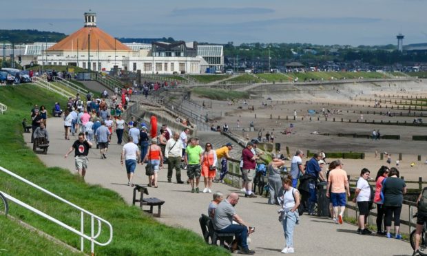
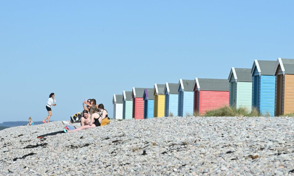
We may have moved into the meteorological autumn last week – but the north and north-east are poised to get a short blast of some summer weather.
The sun is scheduled to warm the UK over the next few days with temperatures forecast to reach as high as 30C.
Don’t expect it to get as hot as that in the north and north-east though, but it could still be one of the last times to dig out your summer clothes.
Here’s what the forecast is like for the next few days.
Tuesday – heat in the east
The best of the weather is expected to be found in Aberdeen and Aberdeenshire on Tuesday.
Temperatures could hit a high of 24C in Aberdeen with the rest of the north-east due to enjoy similar.
It will be slightly cooler the further west you go with 22C forecast in Elgin and Inverness and 20C in Fort William.
How long will the fine and warm weather last❓ Your forecast for the days ahead has arrived😊
🌡️ Starting mostly fine and dry, warm, very warm in the south
☂️Turning less settled from midweek with areas of rain moving NE
⛈️Some heavy showers with thunder possible from mid week pic.twitter.com/PDIXJzpKkR— Met Office (@metoffice) September 6, 2021
The islands will be cooler still with 17C predicted in Stornoway and 16C in Lerwick.
Met Office spokesman Stephen Dixon said: “Tuesday will be a largely sunning day but there will be some rain hanging about on the west coast.
“There will also be some residual cloud in the morning but it will clear up as the day goes on.”
Wednesday – west is best
While temperatures will still remain high in Aberdeen at 22C on Wednesday, the best of the weather will be found further west.
Fort William is due to hit 25C, while remaining cloudy, Elgin could reach 24C with patches of sun but Inverness will remain cooler at 21C.
However, Mr Dixon warned unsettled weather would also begin to make an appearance in some parts.
He said: “There will be some spits and spots of rain in the far north, including Shetland, from early in the day and it will persist.
“It should remain dray and sunny elsewhere though with some good levels of sunshine.”
Thursday onwards – where’s the umbrella?
From Thursday expect rain to begin moving in from the west initially, before continuing through the weekend.
However, the Met Office expects temperatures to remain about 20C for most on Thursday before they begin to cool with 18C in Peterhead and 16C forecast in Elgin on Saturday.
After a warm and sunny couple of days, low pressure from the south is likely to edge northwards towards the UK leading to a #ThunderyBreakdown with areas rain from Wednesday ⛈️🌧️ pic.twitter.com/Wztf2OfFQ7
— Met Office (@metoffice) September 6, 2021
Mr Dixon added: “The heaviest rain will be on the west coast on Thursday with a risk of thunder as well.
“Unsettled weather will continue on Friday and Saturday with the heaviest rain forecast in eastern areas near Aberdeen.
“Unsettled weather will also continue early next week.”

