Blizzards with “severe gale force” winds are expected to sweep across the north and north-east as residents settle into the new year.
Severe weather will take a grip of the region in the first week of 2022, with snow showers and gusts of up to 70mph forecasted to batter most parts of north Scotland.
The Met Office has issued a yellow weather warning, which will come into effect at midnight on Tuesday and last until 6am on Wednesday.
The latest update from the meteorological body covers the whole of the north-east and most of the Highlands, as well as Shetland and Orkney.
New Year's Day afternoon is expected to be rather cloudy with bands of rain affecting northern areas🌧️ Windy with #gales in the far north and west🌬️
Elsewhere a few sunny spells🌥️ but feeling exceptionally mild almost everywhere🌡️📈 pic.twitter.com/iz4uRTPYbO
— Met Office (@metoffice) January 1, 2022
However, the Western Isles and some western towns in the Highlands such as Fort William are likely to be spared the wintery conditions.
The alert comes as residents on the west coast woke up to a blustery start to the new year with households in the Outer Hebrides expected to see gusts of up to 75mph between 10am until 5pm today.
What can residents expect?
Snow showers accompanied by strong winds are expected to be “increasingly frequent” all throughout Tuesday before dying away the following day.
Forecasters predict the snow blanket is most likely to be “temporary and slushy” at lower land, however, residents on higher ground could see nearly six inches of snow.
The severe weather will be accelerated with gusts of around 70mph and drifting of snow on higher level routes in the mountains, while the Met Office has also warned of “dangerous” coastal conditions in a few places.
⚠️ Yellow weather warning issued ⚠️
Wind and Snow across northern parts of Scotland
Tuesday 0000 – Wednesday 0600Strong #winds and frequent #snow showers will give travel disruption ❄️ 🚗
Latest info 👉 https://t.co/QwDLMfRBfs
Stay #WeatherAware⚠️ pic.twitter.com/8bA13Rn8Dq
— Met Office (@metoffice) January 1, 2022
Snow showers and strong winds to cause travel disruption
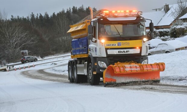
Residents have been warned the blizzards are expected to cause travel disruption across the region with some bus, ferry, and possibly train services affected as journeys could either be cancelled or take longer.
Travellers have also been advised of dangerous driving conditions with possible delays for high-sided vehicles on exposed routes and bridges.
It is likely that some coastal routes, sea fronts and coastal communities will be affected by spray and large waves with a potential risk of flooding.
Flood alert issued for north and north-east
The Scottish Environmental Protection Agency’s (Sepa) has issued flood alerts for Aberdeen, Aberdeenshire and the Highlands and Islands over the next three days.
Sepa officials stress a combination of spring tides, a surge, wind, and waves could cause coastal flooding, leaving local roads and land waterlogged.
Some isolated incidents of flooded properties are also a possibility, according to the agency.