Calendar An icon of a desk calendar. Cancel An icon of a circle with a diagonal line across. Caret An icon of a block arrow pointing to the right. Email An icon of a paper envelope. Facebook An icon of the Facebook "f" mark. Google An icon of the Google "G" mark. Linked In An icon of the Linked In "in" mark. Logout An icon representing logout. Profile An icon that resembles human head and shoulders. Telephone An icon of a traditional telephone receiver. Tick An icon of a tick mark. Is Public An icon of a human eye and eyelashes. Is Not Public An icon of a human eye and eyelashes with a diagonal line through it. Pause Icon A two-lined pause icon for stopping interactions. Quote Mark A opening quote mark. Quote Mark A closing quote mark. Arrow An icon of an arrow. Folder An icon of a paper folder. Breaking An icon of an exclamation mark on a circular background. Camera An icon of a digital camera. Caret An icon of a caret arrow. Clock An icon of a clock face. Close An icon of the an X shape. Close Icon An icon used to represent where to interact to collapse or dismiss a component Comment An icon of a speech bubble. Comments An icon of a speech bubble, denoting user comments. Comments An icon of a speech bubble, denoting user comments. Ellipsis An icon of 3 horizontal dots. Envelope An icon of a paper envelope. Facebook An icon of a facebook f logo. Camera An icon of a digital camera. Home An icon of a house. Instagram An icon of the Instagram logo. LinkedIn An icon of the LinkedIn logo. Magnifying Glass An icon of a magnifying glass. Search Icon A magnifying glass icon that is used to represent the function of searching. Menu An icon of 3 horizontal lines. Hamburger Menu Icon An icon used to represent a collapsed menu. Next An icon of an arrow pointing to the right. Notice An explanation mark centred inside a circle. Previous An icon of an arrow pointing to the left. Rating An icon of a star. Tag An icon of a tag. Twitter An icon of the Twitter logo. Video Camera An icon of a video camera shape. Speech Bubble Icon A icon displaying a speech bubble WhatsApp An icon of the WhatsApp logo. Information An icon of an information logo. Plus A mathematical 'plus' symbol. Duration An icon indicating Time. Success Tick An icon of a green tick. Success Tick Timeout An icon of a greyed out success tick. Loading Spinner An icon of a loading spinner. Facebook Messenger An icon of the facebook messenger app logo. Facebook An icon of a facebook f logo. Facebook Messenger An icon of the Twitter app logo. LinkedIn An icon of the LinkedIn logo. WhatsApp Messenger An icon of the Whatsapp messenger app logo. Email An icon of an mail envelope. Copy link A decentered black square over a white square.

Temperatures soar across the north

Weather map: Met Office show night time hot spots

It is the time of year when the preparations for winter weather begin.

But while gloves, scarves and hats may already have been looked out, a rather surprising development has occurred.

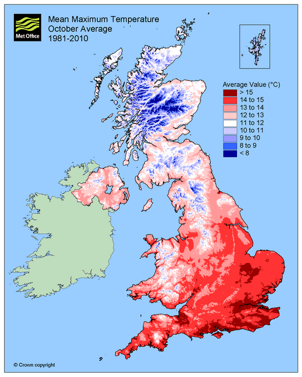
Yes, the north has actually got warmer this weekend.

Last night, temperatures in the coastal areas of the north-east and Highlands all hit the 14C mark.

To put this in perspective, this would normally be the maximum temperature expected during the day at this time of year.

The warm front looks like it will continue tonight going into tomorrow, with temperatures predicted to hit 12-13 degrees.

A spokeswoman for the Met Office explained the reason for the abnormal spike in temperature.

She said: “The warm temperatures are the result of Hurricane Fay, which has already dissipated over the Atlantic.

“The hurricane has left behind an area of warm air which is now passing across the UK.

“An area of low pressure is dragging the air across the UK which is coming from a westerly direction.

“That is causing some of the unsettled weather you will see in other parts of Scotland but are not likely to affect the north-east.

“It’s the kind of unsettled weather that you expect from autumn, but what is unusual is it is making it warmer.”

The warm temperatures are expected to continue over the next two days but gradually drop and return to normal by the middle of next week.

Yesterday, it was reported that certain areas of the north could experience the after-effects of Hurricane Gonzalo at the beginning of next week.

Specifically, the western Highlands could be hit by stormy weather as exposed coastal regions and higher ground across the UK would be particularly under threat.

However, a Met Office meteorologist said the impact would mirror stormy weather often felt at this time of year – but would be unlikely to cause problems of the scale seen in recent floods.

The hurricane has already passed through the Caribbean where it caused devastation, killing one person and injuring another 12.

It hit Bermuda in the last 24 hours and is thought to be the strongest to hit the islands in the past 11 years.