Calendar An icon of a desk calendar. Cancel An icon of a circle with a diagonal line across. Caret An icon of a block arrow pointing to the right. Email An icon of a paper envelope. Facebook An icon of the Facebook "f" mark. Google An icon of the Google "G" mark. Linked In An icon of the Linked In "in" mark. Logout An icon representing logout. Profile An icon that resembles human head and shoulders. Telephone An icon of a traditional telephone receiver. Tick An icon of a tick mark. Is Public An icon of a human eye and eyelashes. Is Not Public An icon of a human eye and eyelashes with a diagonal line through it. Pause Icon A two-lined pause icon for stopping interactions. Quote Mark A opening quote mark. Quote Mark A closing quote mark. Arrow An icon of an arrow. Folder An icon of a paper folder. Breaking An icon of an exclamation mark on a circular background. Camera An icon of a digital camera. Caret An icon of a caret arrow. Clock An icon of a clock face. Close An icon of the an X shape. Close Icon An icon used to represent where to interact to collapse or dismiss a component Comment An icon of a speech bubble. Comments An icon of a speech bubble, denoting user comments. Comments An icon of a speech bubble, denoting user comments. Ellipsis An icon of 3 horizontal dots. Envelope An icon of a paper envelope. Facebook An icon of a facebook f logo. Camera An icon of a digital camera. Home An icon of a house. Instagram An icon of the Instagram logo. LinkedIn An icon of the LinkedIn logo. Magnifying Glass An icon of a magnifying glass. Search Icon A magnifying glass icon that is used to represent the function of searching. Menu An icon of 3 horizontal lines. Hamburger Menu Icon An icon used to represent a collapsed menu. Next An icon of an arrow pointing to the right. Notice An explanation mark centred inside a circle. Previous An icon of an arrow pointing to the left. Rating An icon of a star. Tag An icon of a tag. Twitter An icon of the Twitter logo. Video Camera An icon of a video camera shape. Speech Bubble Icon A icon displaying a speech bubble WhatsApp An icon of the WhatsApp logo. Information An icon of an information logo. Plus A mathematical 'plus' symbol. Duration An icon indicating Time. Success Tick An icon of a green tick. Success Tick Timeout An icon of a greyed out success tick. Loading Spinner An icon of a loading spinner. Facebook Messenger An icon of the facebook messenger app logo. Facebook An icon of a facebook f logo. Facebook Messenger An icon of the Twitter app logo. LinkedIn An icon of the LinkedIn logo. WhatsApp Messenger An icon of the Whatsapp messenger app logo. Email An icon of an mail envelope. Copy link A decentered black square over a white square.

Fireworks shows to go on, say forecasters despite murky weather

Fireworks at Aberdeen beach

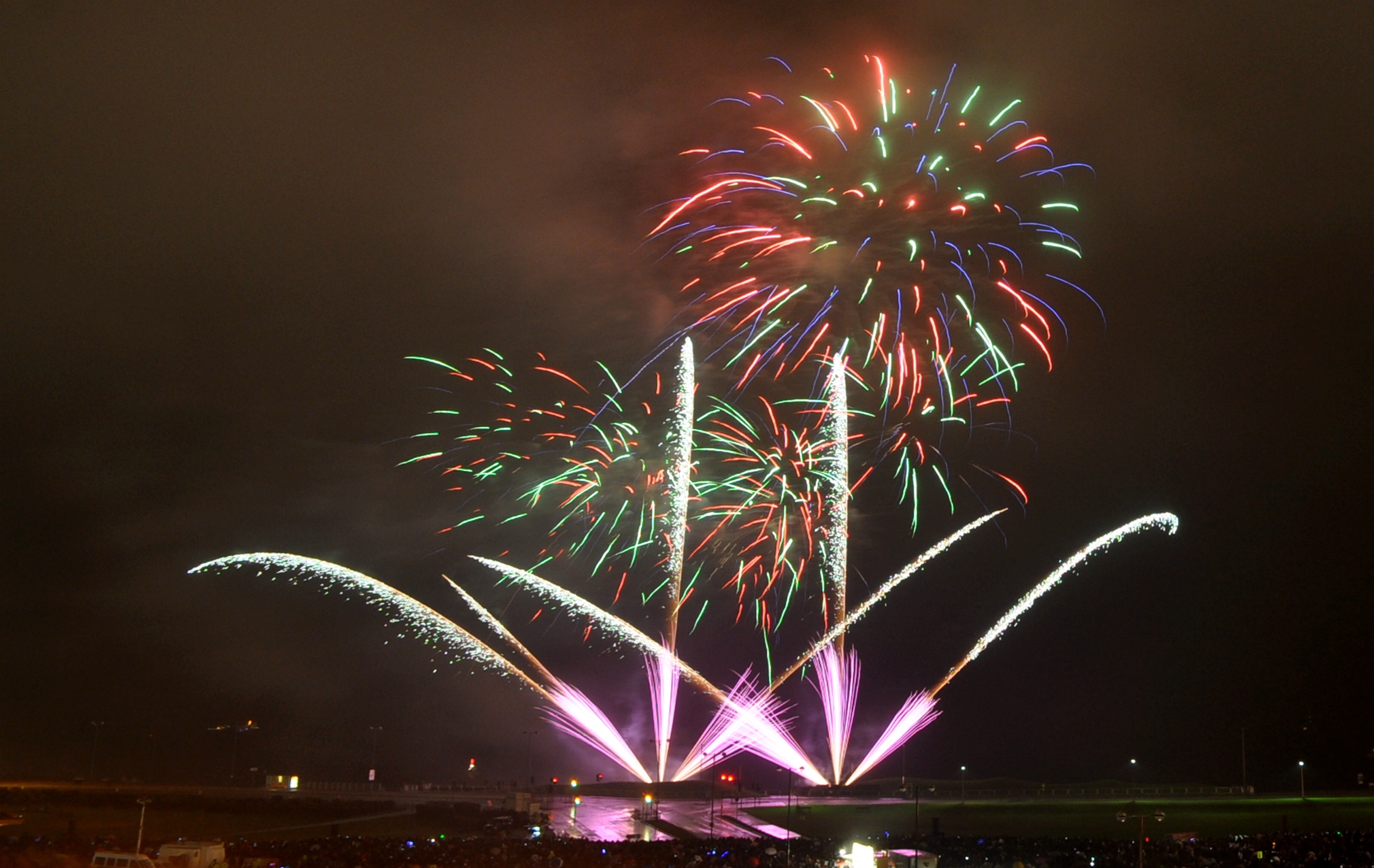
Heavy rain and high winds will sweep across the country this weekend, but forecasters say they do not expect the weather to fizzle out firework displays.

Today will see a soggy start for most but the rain is expected to clear by the evening, while tomorrow will again be damp, particularly across Scotland.

There will be a risk of thunder in places but the Met Office is yet to confirm whether the storms will be potent enough to be the first to bear a human name.

The Met Office say most of the rain in the north-east should clear in time for fireworks shows across the region, however it will be a cold one with temperatures set to drop to as low as 1C in places.

A Met Office spokesman said: “The last of any rain will clear east to leave a dry night with clear periods. (It is) a colder night than last night with a touch of frost in rural spots sheltered from the strengthening southwesterly wind.

“Sunday (will be a) dry, bright morning but turning cloudy. Rain will spread northwards from late morning, heaviest over southern Aberdeenshire. Strong southerly winds reaching gale force, turning westerly later. Maximum Temperature 14°C.

John Griffiths, a forecaster for MeteoGroup, said: “There is a big band of rain that’s pushing across the country north and east today. It will be quite heavy rain in place and there is a risk of thunder and fairly strong winds.

“There could be gusts of up to 55mph or 60mph in really exposed areas. Snowdon, parts of Cornwall and the west coast could see the highest gusts. It could gust up to 40mph in London which is quite strong for that area.

“The rain is going to clear away in the afternoon and once it does it will be a fairly dry night.”

Tomorrow, winds could reach up 70mph in coastal areas of Scotland, he added.

“There is another big band of rain that will mainly affect northern England and Scotland. Again it will be quite heavy and there is a risk of thunder.

“In the South East there maybe the odd spot or two of rain in the afternoon.”

The Met Office said the temperatures on Saturday would peak around 17C during the day and fall to around 7C at night.
In September, the Met Office and Met Eireann announced a pilot project to name storms that may be blowing this way this autumn and winter and were inundated with public responses.
The winning names included Abigail, Barney, Clodagh, Desmond, Eva and Frank.
A storm will be named when it is deemed to have the potential to cause a substantial impact in the UK and/or Ireland.
ends