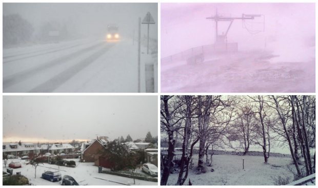
Forecasters have issued a fresh warning of further snow and “hazardous” driving conditions across the north-east.
Aberdeen, Aberdeenshire and Moray is predicted to experience more of the wintry weather until the afternoon.
The Met Office has placed a yellow warning for snow across Grampian until 1pm today, alongside a similar alert for winds of between 50mph and 70mph.
The forecaster said the winter weather was being brought in by Storm Conor dragging Arctic air across the region.
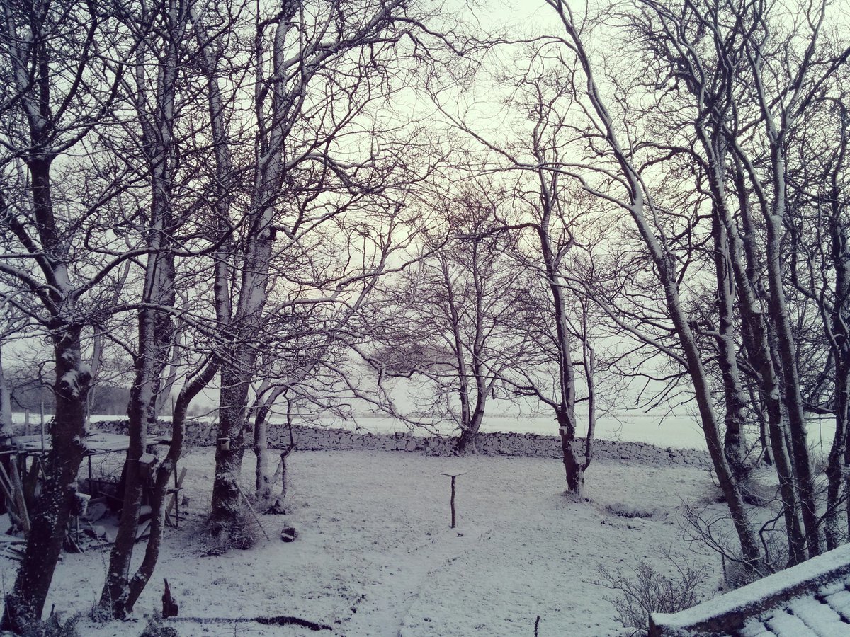
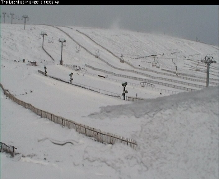
A Met Office statement said: “Frequent, blustery showers will fall as snow above about 150m (492ft), and as a mixture of rain, sleet and snow to lower levels.
“Gusts of wind of 40-50 mph, and much more on high ground, will lead to temporary blizzard conditions at times.
“Fresh snow accumulations of 5-10cm (1.0in – 3.9in) are expected above about 200 m, and of 10-15 cm above about 400m (1,312ft). At low levels a couple of cm may accumulate locally, with icy patches on untreated surfaces.
“Please be aware of the risk of hazardous driving conditions and disruption to transport.
“Storm Conor, although well to the north of Scotland, will drag arctic air across the region, bringing heavy, wintry showers, some with thunder and lightning.”
Earlier today police were notified of two cars coming off the A950 New Pitsligo to Mintlaw road.
At 7.30am, two miles from New Pitsligo, a care came off the road and went into a verge due to the snow. It was left damaged, though nobody was hurt.
On the same road at about 10.40am, police were notified after a silver Vauxhall Corsa slid off the route.