Calendar An icon of a desk calendar. Cancel An icon of a circle with a diagonal line across. Caret An icon of a block arrow pointing to the right. Email An icon of a paper envelope. Facebook An icon of the Facebook "f" mark. Google An icon of the Google "G" mark. Linked In An icon of the Linked In "in" mark. Logout An icon representing logout. Profile An icon that resembles human head and shoulders. Telephone An icon of a traditional telephone receiver. Tick An icon of a tick mark. Is Public An icon of a human eye and eyelashes. Is Not Public An icon of a human eye and eyelashes with a diagonal line through it. Pause Icon A two-lined pause icon for stopping interactions. Quote Mark A opening quote mark. Quote Mark A closing quote mark. Arrow An icon of an arrow. Folder An icon of a paper folder. Breaking An icon of an exclamation mark on a circular background. Camera An icon of a digital camera. Caret An icon of a caret arrow. Clock An icon of a clock face. Close An icon of the an X shape. Close Icon An icon used to represent where to interact to collapse or dismiss a component Comment An icon of a speech bubble. Comments An icon of a speech bubble, denoting user comments. Comments An icon of a speech bubble, denoting user comments. Ellipsis An icon of 3 horizontal dots. Envelope An icon of a paper envelope. Facebook An icon of a facebook f logo. Camera An icon of a digital camera. Home An icon of a house. Instagram An icon of the Instagram logo. LinkedIn An icon of the LinkedIn logo. Magnifying Glass An icon of a magnifying glass. Search Icon A magnifying glass icon that is used to represent the function of searching. Menu An icon of 3 horizontal lines. Hamburger Menu Icon An icon used to represent a collapsed menu. Next An icon of an arrow pointing to the right. Notice An explanation mark centred inside a circle. Previous An icon of an arrow pointing to the left. Rating An icon of a star. Tag An icon of a tag. Twitter An icon of the Twitter logo. Video Camera An icon of a video camera shape. Speech Bubble Icon A icon displaying a speech bubble WhatsApp An icon of the WhatsApp logo. Information An icon of an information logo. Plus A mathematical 'plus' symbol. Duration An icon indicating Time. Success Tick An icon of a green tick. Success Tick Timeout An icon of a greyed out success tick. Loading Spinner An icon of a loading spinner. Facebook Messenger An icon of the facebook messenger app logo. Facebook An icon of a facebook f logo. Facebook Messenger An icon of the Twitter app logo. LinkedIn An icon of the LinkedIn logo. WhatsApp Messenger An icon of the Whatsapp messenger app logo. Email An icon of an mail envelope. Copy link A decentered black square over a white square.

Plans to protect more Aberdeenshire communities from flooding garner positive response

Men search homes in the Port Elphinstone area of Inverurie, Aberdeenshire as they begin to experience flooding after the River Don burst its banks on January 07 2016

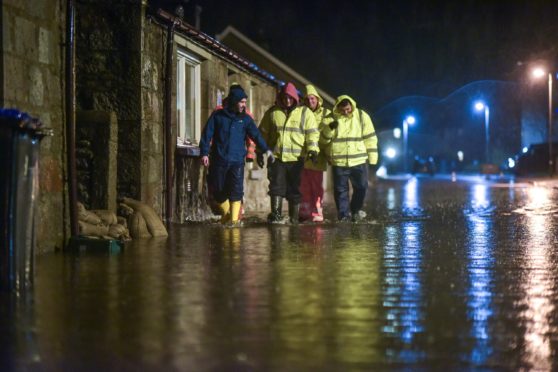
Flooding problems which have plagued Aberdeenshire communities for generations could be a thing of the past under new £15.5 million plans to keep rising water at bay.

Schemes to safeguard Inverurie, Insch and Port Elphinstone have now been unveiled, following moves to progress similar projects in Ballater and Stonehaven.

While the latter two proposals have proved controversial, Aberdeenshire Council says that these new options have been met with enthusiasm.

To protect Inverurie from the River Urie, engineers have proposed erecting a 12ft high, 420-yard long embankment around the retail park on Oldmeldrum Road.

Documents state that businesses were “extremely positive” about the idea, which would protect their properties and adjust the flow of the river “to aid with lowering levels downstream”.

And from Port Elphinstone down to the south of Inverurie, structures across the canal will be removed – such as the footbridge – with a manual flood gate and more embankments built to protect homes and Kirkwood Commercial Park.

In total, protecting the areas will cost £11.3 million.

Council papers said: “Most residents were impressed with setting the embankments back. Residents were happy with the canal defences and were assured that the footpath was to be retained.”

Mopping up after  a flood at North Street, Inverurie, 1947.

The preferred option to protect Insch, worth £4.2 million, involves building an embankment and flood wall on Mill Road.

In the north of the village more defences, including a channel, will increase flow capacity of the Valentines Burn.

And the south of the community will be protected by more embankments near the B9002 and B992 roads, and the railway line.

The measures have been determined to be the most “cost effective.”

The schemes will be discussed by the Garioch Area Committee next week, with members voting on whether to progress the council’s preferred vision for each site.

For decades in Inverurie and Port Elphinstone, residents have been affected by flooding from the River Don and River Urie, and from the nearby Strath Burn.

In January 2016 the fire brigade and coastguard teams worked in tandem to rescue residents from flooded properties, with Inverurie Academy opened as temporary accommodation to house evacuated people.

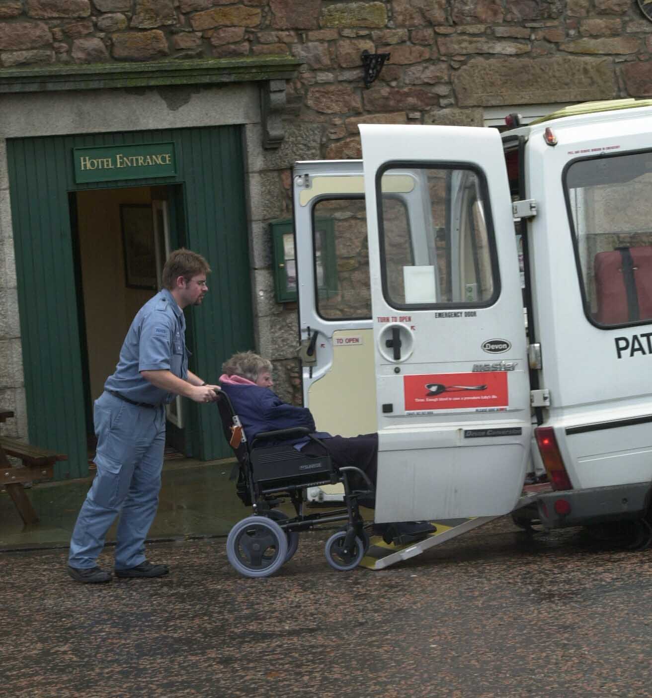
In one of the most severe cases for Insch, in November 2002 residents at Drumdarroch nursing home had to be evacuated due to the high water.

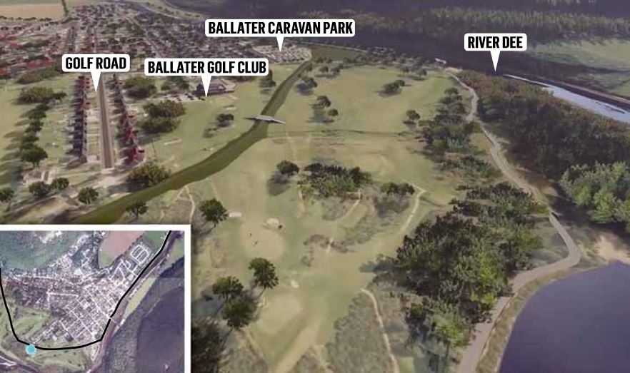
The wall (in green) proposed in Ballater to prevent floodsThe plans have emerged after flood prevention proposals for Stonehaven and Ballater were met with disdain by some residents.

In Stonehaven residents described a potential flood wall as “devastating”, arguing it would hamper trade in the seaside town.

While in Ballater, an 11-foot high wall through a golf course has been proposed as part of the area’s proposed £31 million flood protection scheme.

Jim Hunter, president of Ballater Golf Club said: ““We have at least 30 to 40 members saying they would leave if we have this big flood wall built across the course.”

Meanwhile, Peterculter residents are being asked to take part in a trial for a smart phone app which they would tell Aberdeen City Council of the potential of floods.

The authority is working on the trial in conjunction with the University of Bradford as part of one of several anti-flooding measures brought into the city since Storm Frank almost four years ago.

The app is available at

https://bit.ly/34CgjZs