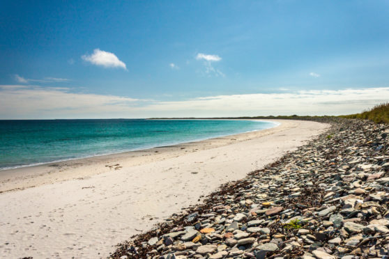
With just 18 residents between them, two Inner Hebridean islands have mapped out their future – and past – in a world first.
Canna and Sandaywere the subject of the most detailed mapping exercise ever undertaken of any islands anywhere on the planet, using a drone.
Island owners the National Trust for Scotland commissioned Glasgow-based GeoGeo to carry out a drone survey of the island in November 2018 using an ultra-high definition camera with the aim of pinning down the exact locations of archaeological features.
The drone not only achieved this but also revealed hitherto unknown archaeology.
The images have been processed to create a minutely detailed 3-D map of Canna and Sanday, which is even capable of being used in a 3-D printer to create scale models of the islands.
.Here’s Paul from GeoGeo @wearespatial explaining the @CannaNTS drone results to staff @N_T_S HQ. @AlanRankin01 pic.twitter.com/pvT41aEVzU
— NTS Archaeologist (@NTS_archaeology) February 1, 2019
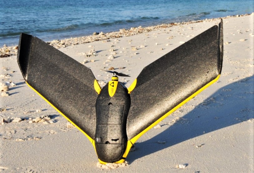
Paul Georgie, Founder & Lead Geospatial Technologist of GeoGeo said:”The drones we use aren’t those commonly for sale to the public; they represent the most advanced autonomous systems available – miniature fixed wing aircraft built for larger mapping missions like this.
“We spent five days on Canna last November in miraculously calm and clear weather, with our flying robot navigating itself over 400km to capture over 4000 images of the islands. We then took this data and processed on self-built super computers to produce the most complete 3-D map of the islands to date. This not only shows detailed topography and vegetation at a game-changing three centimetres resolution but, with over 420 million data points, is currently the world’s largest complete island dataset captured by drone.”
>> Keep up to date with the latest news with The P&J newsletter
Derek Alexander, the National Trust for Scotland’s Head of Archaeology said:”We’ve previously recorded archaeology on Canna and Sanday which proves that there were inhabitants as far back as the Neolithic but this survey gives us information and detail we just haven’t had until now.
“We’ve been able to obtain exact plots of known sites but also recorded the extensive traces of cultivation, such as rig and furrow field systems that range in from the Bronze Age onwards. At its peak in the 19th century, agriculture on Canna and Sanday was capable of supporting a population of 400.
“The detail is simply astounding – aerial surveys for archaeology have been around since the end of World War Two but this new technology takes everything into a completely new realm, being considerably more detailed, affordable and flexible.
“My colleagues in the Trust were blown away by the results and the possibilities of this technology – the cameras allied to ‘self-learning’ software will be able to help us do things like seabird counts, as well as habitat and coastal erosion monitoring that are currently expensive and labour-intensive.”