Calendar An icon of a desk calendar. Cancel An icon of a circle with a diagonal line across. Caret An icon of a block arrow pointing to the right. Email An icon of a paper envelope. Facebook An icon of the Facebook "f" mark. Google An icon of the Google "G" mark. Linked In An icon of the Linked In "in" mark. Logout An icon representing logout. Profile An icon that resembles human head and shoulders. Telephone An icon of a traditional telephone receiver. Tick An icon of a tick mark. Is Public An icon of a human eye and eyelashes. Is Not Public An icon of a human eye and eyelashes with a diagonal line through it. Pause Icon A two-lined pause icon for stopping interactions. Quote Mark A opening quote mark. Quote Mark A closing quote mark. Arrow An icon of an arrow. Folder An icon of a paper folder. Breaking An icon of an exclamation mark on a circular background. Camera An icon of a digital camera. Caret An icon of a caret arrow. Clock An icon of a clock face. Close An icon of the an X shape. Close Icon An icon used to represent where to interact to collapse or dismiss a component Comment An icon of a speech bubble. Comments An icon of a speech bubble, denoting user comments. Comments An icon of a speech bubble, denoting user comments. Ellipsis An icon of 3 horizontal dots. Envelope An icon of a paper envelope. Facebook An icon of a facebook f logo. Camera An icon of a digital camera. Home An icon of a house. Instagram An icon of the Instagram logo. LinkedIn An icon of the LinkedIn logo. Magnifying Glass An icon of a magnifying glass. Search Icon A magnifying glass icon that is used to represent the function of searching. Menu An icon of 3 horizontal lines. Hamburger Menu Icon An icon used to represent a collapsed menu. Next An icon of an arrow pointing to the right. Notice An explanation mark centred inside a circle. Previous An icon of an arrow pointing to the left. Rating An icon of a star. Tag An icon of a tag. Twitter An icon of the Twitter logo. Video Camera An icon of a video camera shape. Speech Bubble Icon A icon displaying a speech bubble WhatsApp An icon of the WhatsApp logo. Information An icon of an information logo. Plus A mathematical 'plus' symbol. Duration An icon indicating Time. Success Tick An icon of a green tick. Success Tick Timeout An icon of a greyed out success tick. Loading Spinner An icon of a loading spinner. Facebook Messenger An icon of the facebook messenger app logo. Facebook An icon of a facebook f logo. Facebook Messenger An icon of the Twitter app logo. LinkedIn An icon of the LinkedIn logo. WhatsApp Messenger An icon of the Whatsapp messenger app logo. Email An icon of an mail envelope. Copy link A decentered black square over a white square.

Ever heard of ‘thundersnow’? Well it’s forecast to hit Scotland this week

The north of Scotland is preparing for blizzards and travel disruption as an Arctic blast moves in from the sea this week bringing with it the possibility of “thundersnow”.

With yellow weather warnings for wind and snow in place for tomorrow through to Friday, the Met Office is warning travellers to beware.

Some of the heaviest snow showers are expected on Thursday and Friday when there could also be lightning, potentially causing power cuts.

With the cold air originating over arctic Canada, Met Office meteorologist Emma Sharples warned that with the high winds and snow “we could get some blizzard type conditions, especially at height”.

Quizzed on the possibility of “thundersnow”, where the rain associated with a thunderstorm falls as snow, she added: “It is possible, all that really needs is for thunder to happen at the same time as the snow.

“So where you get very active or vigorous showers – which is what we are going to see… then we could well get some thunder as well. It is definitely possible.”

Ms Sharples said that because the snow at lower levels will come in the form of “showers”, unless there is “shower after shower coming over the same location”, it is unlikely to build up to too much.

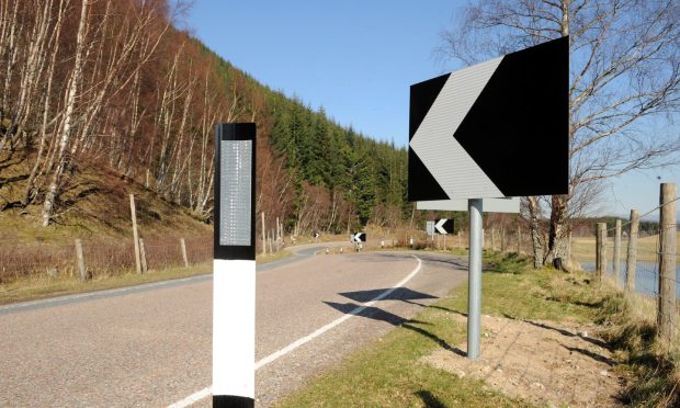
But she warned: “Even a centimetre of snow in this country can obviously cause some disruption”, adding that there could also be “some showers in land, but they are likely to be short-lived”.

Airline Loganair is offering customers booked to fly during the warning period the choice to adjust travel plans.

Met Office spokesman Oli Claydon said: “We have warnings out from Wednesday to Friday, with an Arctic maritime air mass taking control over the weather of the UK from Wednesday onwards, moving from north west pushing south, the north will feel colder compared with the rest of the UK.

“There will be strong winds, with gusts of up to 55mph and potentially above that. This will be mixed in with snow, which will be 2-5cm deep. Above 300 metres it could be up to 10cm.

“That could bring some slightly tricky driving conditions, especially in the Highlands and the further north west you go. There could be disruption to public transport.

“People should take extra care and leave extra time for journeys.”

Many Western Isles ferry passengers have been urged to travel today because the run of stormy weather means their next guaranteed journey is not until Friday.

Barra and South Uist travellers are advised to catch special sailings between the islands and the mainland today.