Calendar An icon of a desk calendar. Cancel An icon of a circle with a diagonal line across. Caret An icon of a block arrow pointing to the right. Email An icon of a paper envelope. Facebook An icon of the Facebook "f" mark. Google An icon of the Google "G" mark. Linked In An icon of the Linked In "in" mark. Logout An icon representing logout. Profile An icon that resembles human head and shoulders. Telephone An icon of a traditional telephone receiver. Tick An icon of a tick mark. Is Public An icon of a human eye and eyelashes. Is Not Public An icon of a human eye and eyelashes with a diagonal line through it. Pause Icon A two-lined pause icon for stopping interactions. Quote Mark A opening quote mark. Quote Mark A closing quote mark. Arrow An icon of an arrow. Folder An icon of a paper folder. Breaking An icon of an exclamation mark on a circular background. Camera An icon of a digital camera. Caret An icon of a caret arrow. Clock An icon of a clock face. Close An icon of the an X shape. Close Icon An icon used to represent where to interact to collapse or dismiss a component Comment An icon of a speech bubble. Comments An icon of a speech bubble, denoting user comments. Comments An icon of a speech bubble, denoting user comments. Ellipsis An icon of 3 horizontal dots. Envelope An icon of a paper envelope. Facebook An icon of a facebook f logo. Camera An icon of a digital camera. Home An icon of a house. Instagram An icon of the Instagram logo. LinkedIn An icon of the LinkedIn logo. Magnifying Glass An icon of a magnifying glass. Search Icon A magnifying glass icon that is used to represent the function of searching. Menu An icon of 3 horizontal lines. Hamburger Menu Icon An icon used to represent a collapsed menu. Next An icon of an arrow pointing to the right. Notice An explanation mark centred inside a circle. Previous An icon of an arrow pointing to the left. Rating An icon of a star. Tag An icon of a tag. Twitter An icon of the Twitter logo. Video Camera An icon of a video camera shape. Speech Bubble Icon A icon displaying a speech bubble WhatsApp An icon of the WhatsApp logo. Information An icon of an information logo. Plus A mathematical 'plus' symbol. Duration An icon indicating Time. Success Tick An icon of a green tick. Success Tick Timeout An icon of a greyed out success tick. Loading Spinner An icon of a loading spinner. Facebook Messenger An icon of the facebook messenger app logo. Facebook An icon of a facebook f logo. Facebook Messenger An icon of the Twitter app logo. LinkedIn An icon of the LinkedIn logo. WhatsApp Messenger An icon of the Whatsapp messenger app logo. Email An icon of an mail envelope. Copy link A decentered black square over a white square.

Six inches of snow and 75mph winds: Storm Doris expected to arrive in the north

Post Thumbnail

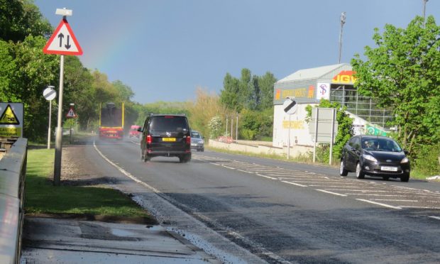
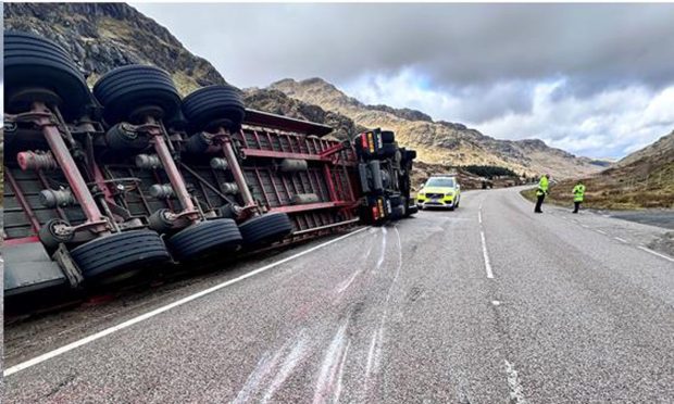
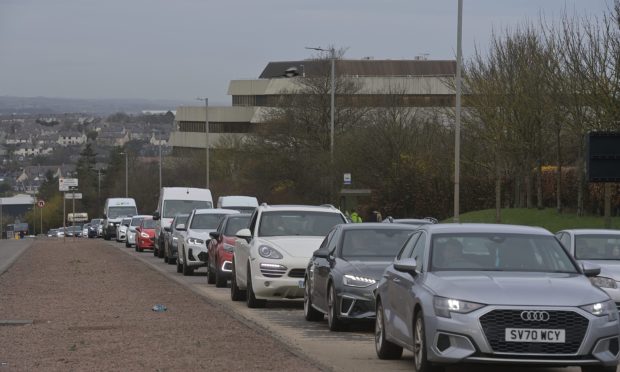
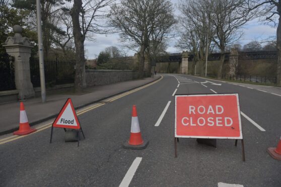
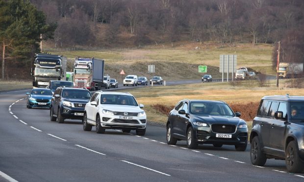
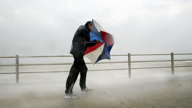
Winds of up to 75mph that battered parts of the northern Highlands yesterday will be followed by heavy snowfall in many areas today, according to forecasters.

Swathes of the north will get up to six inches of snow at low levels and about a foot above 1,000ft, leading to further travel disruption.

Rail services were delayed yesterday after an Aberdeen-Inverness train hit a fallen tree. The drama, near Inverurie in Aberdeenshire, involved the 10.13am service. The train suffered a smashed windscreen and engine failure.

There was a yellow, west and northwesterly severe gale warning in place most of yesterday, from the Western Isles to the Moray Firth including Orkney and southern Shetland.

The Churchill Barriers on Orkney were closed for a period due to the strong winds.

Many ferry serices were disrupted. On CalMac routes, there were delays on the Oban-Castlebay, Barra, service. Strong winds also affected the Oban-Colonsay-Port Askaig-Kennacraig route.

Its sailings to Colonsay will not operate from Oban today but Kennacraig/Islay instead.

Yesterday’s NorthLink Ferries’ early Stromness and Scrabster crossings were cancelled due to the gales.

Orkney Council’s ferry services – the MV Eynhallow and MV Shapinsay – also suffered major disruption.

The Met Office has forecast heavy snow today as a result of Storm Doris.

Spokesman Grahame Madge said: “Storm Doris will be developing on Thursday and taking a more southerly track. We have an amber warning for central southern parts of Britain, along a corridor from Wales to East Anglia.

“We have an amber warning for snow, suggesting there’ll be heavy accumulations quite widely in the Highlands, the central belt and Strathclyde. Expect a foot of snow on hills above 1,000ft.”

Winds in the north will ease today but it is still likely to be breezy. Further showers are forecast for tomorrow and into the weekend.

A spokesman for power firm SSE said: “We’re not expecting any impact from Storm Doris – that’s expected to hit further south.

“It would be wrong for us to rule anything out as the weather can be so changeable. But whilst we’re clearly monitoring the weather, as we always do, if we feel we need to move resources we’ll do so.”

The Scottish Government is coordinating a transport plan to deal with extreme conditions and Transport Minister Humza Yousaf urged motorists to be “mindful that disruption is likely and to plan accordingly.”