Calendar An icon of a desk calendar. Cancel An icon of a circle with a diagonal line across. Caret An icon of a block arrow pointing to the right. Email An icon of a paper envelope. Facebook An icon of the Facebook "f" mark. Google An icon of the Google "G" mark. Linked In An icon of the Linked In "in" mark. Logout An icon representing logout. Profile An icon that resembles human head and shoulders. Telephone An icon of a traditional telephone receiver. Tick An icon of a tick mark. Is Public An icon of a human eye and eyelashes. Is Not Public An icon of a human eye and eyelashes with a diagonal line through it. Pause Icon A two-lined pause icon for stopping interactions. Quote Mark A opening quote mark. Quote Mark A closing quote mark. Arrow An icon of an arrow. Folder An icon of a paper folder. Breaking An icon of an exclamation mark on a circular background. Camera An icon of a digital camera. Caret An icon of a caret arrow. Clock An icon of a clock face. Close An icon of the an X shape. Close Icon An icon used to represent where to interact to collapse or dismiss a component Comment An icon of a speech bubble. Comments An icon of a speech bubble, denoting user comments. Comments An icon of a speech bubble, denoting user comments. Ellipsis An icon of 3 horizontal dots. Envelope An icon of a paper envelope. Facebook An icon of a facebook f logo. Camera An icon of a digital camera. Home An icon of a house. Instagram An icon of the Instagram logo. LinkedIn An icon of the LinkedIn logo. Magnifying Glass An icon of a magnifying glass. Search Icon A magnifying glass icon that is used to represent the function of searching. Menu An icon of 3 horizontal lines. Hamburger Menu Icon An icon used to represent a collapsed menu. Next An icon of an arrow pointing to the right. Notice An explanation mark centred inside a circle. Previous An icon of an arrow pointing to the left. Rating An icon of a star. Tag An icon of a tag. Twitter An icon of the Twitter logo. Video Camera An icon of a video camera shape. Speech Bubble Icon A icon displaying a speech bubble WhatsApp An icon of the WhatsApp logo. Information An icon of an information logo. Plus A mathematical 'plus' symbol. Duration An icon indicating Time. Success Tick An icon of a green tick. Success Tick Timeout An icon of a greyed out success tick. Loading Spinner An icon of a loading spinner. Facebook Messenger An icon of the facebook messenger app logo. Facebook An icon of a facebook f logo. Facebook Messenger An icon of the Twitter app logo. LinkedIn An icon of the LinkedIn logo. WhatsApp Messenger An icon of the Whatsapp messenger app logo. Email An icon of an mail envelope. Copy link A decentered black square over a white square.

Kingussie flood prevention scheme recommended for approval

Flood damage at Kingussie station in 2014

A new scheme designed to finally cut the risk of flooding in a Highland town could be given the go-ahead this week.

Kingussie has suffered regular flooding in recent years, with bridges being brought down and the Inverness to Perth rail line hit by a deluge in August 2014, along with the nearby high school and gold course.

A proposed new £275,000 scheme on the Pitmain Estate, two miles to the north of the town, has been hailed as a potential solution.

It would see water from the Allt Mhor watercourse being redirected into Loch Gynack via a new channel.

The Allt Mhor is a tributary of the Gynack Burn, which flows through the town and was responsible for the 2014 flood, as well as other major floods, notably in 2006, 1990 and 1989.

The proposed scheme will go before a Cairngorms National Park planning committee on Friday in Ballater, with a recommendation that it is approved.

The planning application has been lodged by Pitmain Estate, which suffered significant damage in the 2014 flood.

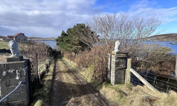
A derelict scheme already exists on the Allt Mhor, including a sluiced inlet and channel to Loch Gynack.

It is believed that this previous scheme was built for power generation due to its small scale.

The developer believes that the new project would reduce water reaching Kingussie by about 30% at times of peak flooding.

The scheme has received backing from the Scottish Environmental Protection Agency and Highland Council’s flood risk management team which believes that there would be “a significant reduction” in flood risk for Kingussie.

Ailsa Schofield, chairwoman of Kingussie Community Council, said the body was “fully supportive” of the plans, which it believes “will provide significant alleviation of flooding in the town”.

National park planning officer Matthew Taylor has recommended approval for the scheme.

He said that while the development will “undoubtedly introduce artificial structures” to the area, it could be managed to “complement the immediate landscape setting and habitat provision”.

He added: “The development is welcomed as a positive step towards reducing the flood risk to Kingussie, with a lesser secondary benefit of maintaining flows to a local hydro power scheme.”