Commuters in the north and north-east have endured a host of disruptions as heavy and persistent rain showers batter the region.
Rail and ferry services have been subject to delay as busy roads were left submerged under water due to localised flooding in parts of Inverness and Aberdeen.
The disruption comes as Met Office forecasters warn of improved conditions in the coming days with temperatures reaching highs of 17 degrees on Thursday.
Rail
Scotrail services bared the brunt of the adverse weather leading to a host of disruptions across the network.
Network Rail imposed a 40mph speed limit on services operating between Inverness and Aberdeen, the Far North Line and the East Coast Mainline near Aberdeen due to forecasts of prolonged rainfall.
In response to the forecasted heavy and prolonged rainfall, we will restrict trains to 40mph between
• Aberdeen & Inverness
• Inverness & Wick
• On the East Coat Mainline near AberdeenThese speed restrictions will be in place from 1900 tonight & will regularly be reviewed.
— Network Rail Scotland (@NetworkRailSCOT) May 23, 2021
Services operating between Inverness and the central belt have faced delays and overcrowding due to a reduction in carriages.
Meanwhile, services to Wick have also been affected with passengers forced to terminate at Helmsdale as a result of speed restrictions and adverse weather.
In the north-east, Scotrail is preparing to run an additional service from Aberdeen to Inverness this evening to compensate for the disruption.
Further speed restrictions are due to be imposed on the Highland Main Line due to forecasts of severe rainfall.
Ferry Services
Operators of Calmac services on the west coast were also busy altering services in the region due to changing tidal conditions.
Timetabled crossings from Oban to Lochboisdale; Castlebay; Mallaig and the small isles and Berneray and Leverburgh in the Western Isles were subject to alterations throughout the day as heavy rain battered the coastline.
‘Heavy and prolonged’ rainfall causes train disruption across the north-east
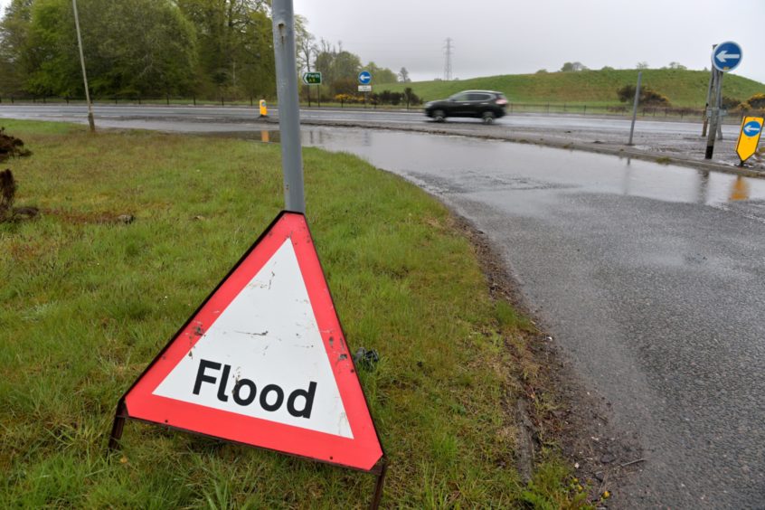
Roads
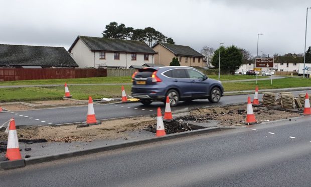
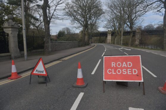
Motorists were also experiencing disruption today due to localised flooding.
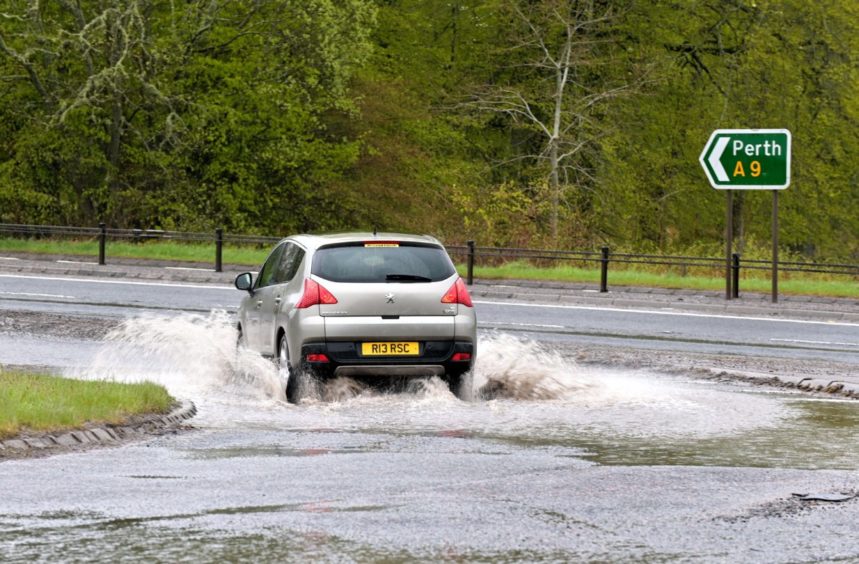
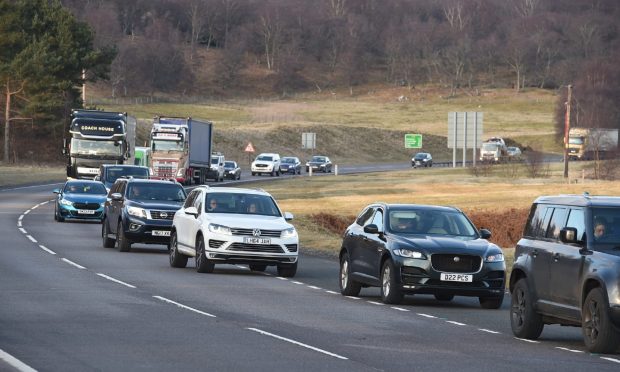
In the north, the A9 slipway on Culloden Road was flooded as sections of the Inverness to Perth trunk road was affected by a great deal of surface water.
The 26A Stagecoach bus service, operating between Inverness and Muir of Ord, was also subject to delay as a result of the adverse weather.
Heavy rain showers also impacted several north-east roads, with the A944 reportedly flooded near to the Premier Inn, located at Westhill.
Standing water was also affecting traffic on North Deeside road between Culter and Banchory.
Flood warning
The Scottish Environment Protection Agency (SEPA) has issued a flood warning for Sluggan to Dulnain Bridge due to rising water levels in the area.
Local home owners are being encouraged to be vigilant due to fears of localised flooding caused by rising water levels in the River Dulnain and surrounding rivers.
A SEPA spokesman said: “A flood warning has been issued for Sluggan to Dulnain Bridge.
“Heavy rain has caused water levels in the River Dulnain and surrounding rivers to rise. Low lying land, properties and access routes along the River Dulnain are at risk of flooding, including areas around Carrbridge and Dulnain Bridge.”
He added: “Remain vigilant and remember, it is your responsibility to take actions which help protect yourself and your property.
“This flood warning is now in force until further notice and was sent by phone and SMS free of charge to registered customers of our Floodline direct warning service.”
Forecasts
Scattered rain showers are expected in the coming days across the north and north-east ahead of sunny spells and high temperatures on Thursday.
Met Office meteorologist Sarah Kent said: “Grampian will see a cloudy start to the day tomorrow with showery outbreaks of rain and a brisk breeze with gusts of 25/30mph. The sun will come out through the morning with scattered showers in the afternoon with highs of around 14 to 15 degrees.
“Across the Highland region, it’s going to be cloudy with showery outbreaks of rain tomorrow morning but brightening up, with the sun coming out mid-morning and a few showers continuing in the afternoon.
“On Tuesday night, it becomes dry with clear spells through the evening but cloudier with some drizzle during the early hours. Temperatures to end the night will be around for degrees because you have a blanket of cloud coming in.”
She added: “Wednesday for Highland, it’s going to be rather cloudy with the odd spot of drizzle at times throughout the day.
“Meanwhile for Grampian, it’s a cloudy start with some patchy rain here and there but the rain will tend to peter out through the day
“On Thursday, it looks like it is going to be dry with sunny spells with light winds with temperatures reaching 20 degrees in Scotland and highs of around 17 in Grampian and Highland.”