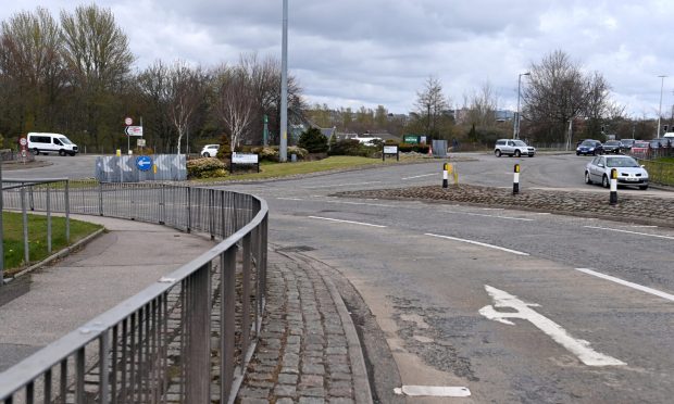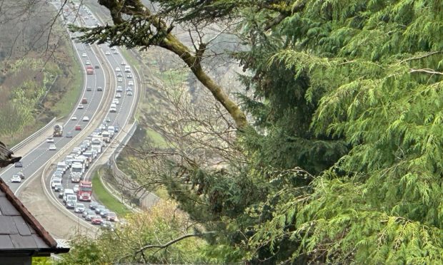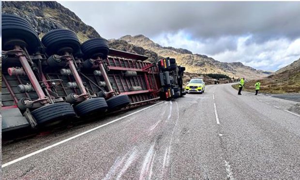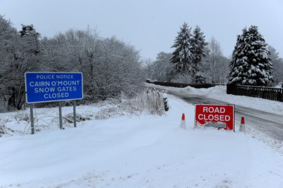
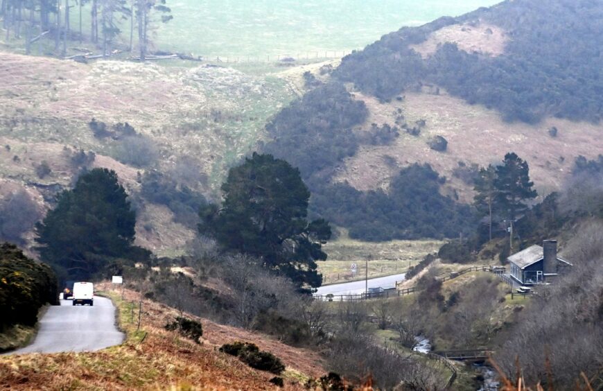
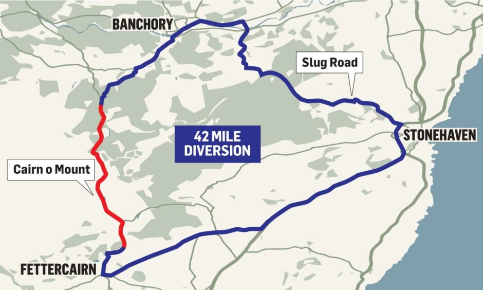
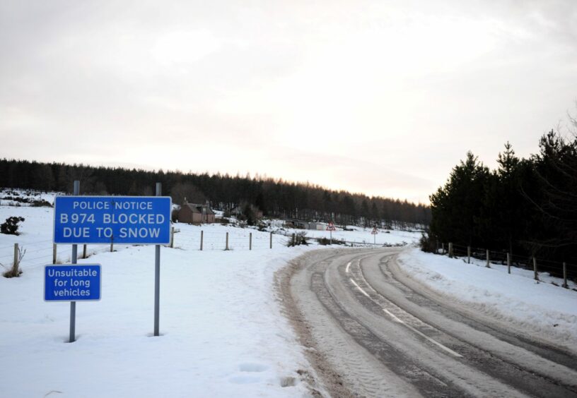
As one of the UK’s highest roads, the Cairn O’Mount between Banchory and Fettercairn in Aberdeenshire is frequently shut at very short notice due to ice and snow.
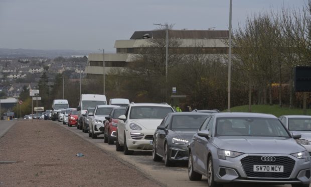
But for years, local businesses and users of the route have faced frustration over a lack of clarity on whether it is actually closed or not.
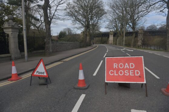
The road closed signs are sometimes inaccurate about exactly how far the closure extends, or left up for days after the mountain pass is fully reopened.
The problem, according to councillors, lies with a lack of cooperation between the multiple police and council groups in charge of communicating closures on either end of the almost 1,500ft-high road.
But officers for the local authority have now agreed to find a solution.
Although the poor signage can cause serious anger for travellers, businesses like the Clatterin’ Brig restaurant say the issue causes a significant impact on their profits.
How restaurant lost a ‘whole weekend of business’ over signs
Moira Prentice, owner of the Clatterin’ Brig at the bottom of the southern end of Cairn O’Mount, said the issues aren’t just when the road is shut due to snow.
She said: “The last problem we had was when there was repairs going on, but when they were completed they forgot to take the signs down.
“They were still there on the Monday morning, but the road had been open since the Friday afternoon.
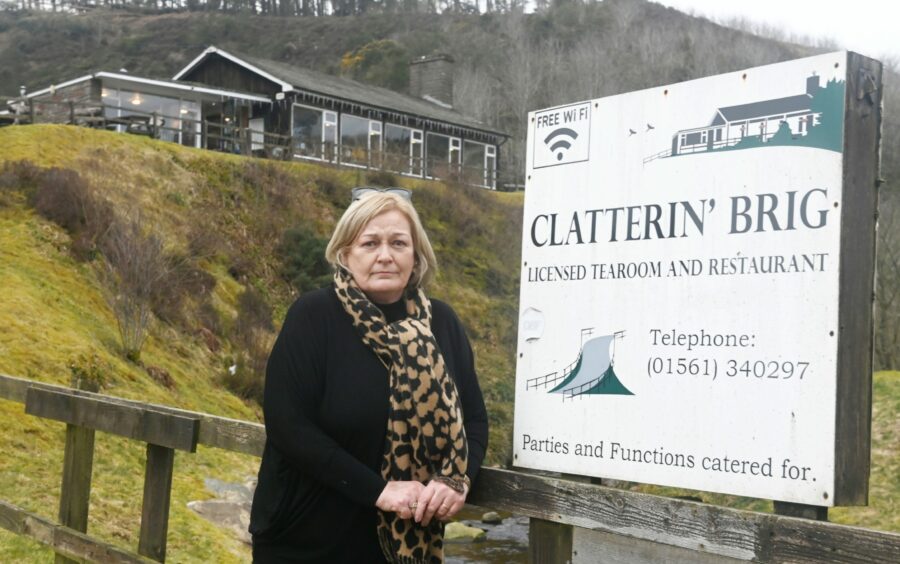
“So that was a loss of a whole weekend of business for us, and for others in Fettercairn and nearby too.
“There seems to be a bit of disjointed information sharing between the police and the council when it comes to who is opening the road or closing it.”
Moira also raised issue with the signs being erected that say the whole road is closed, when access to her restaurant is still possible.
She added: “The signs will say the Cairn O’Mount road is closed, but it won’t say anything about us still being open.
“Clearer signage is what’s needed.”
‘Complicated chain of command’ could be blamed for problems
Mearns councillor George Carr and Banchory councillor Ann Ross brought up the sign problems with the Aberdeenshire Council officers.
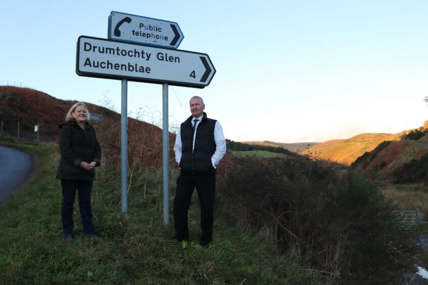
George explained the importance of the route for the flow of traffic throughout the region: “It’s the most direct route between the coast and Deeside if you’re coming from the south.
“And similarly, if you live in Banchory and you’re going to Edinburgh, you’ll usually just take the Cairn because it’s the most direct route.
“It’s quite a chaotic situation between the two police teams and two council teams involved in all this.
“It’s quite a complicated chain of command, but the local signage and communications need to be improved.
“Sometimes the road would be open by a Friday night, but a sign could stay in place over the weekend in Fettercairn saying the road is closed.”
He added: “I’m pleased to have agreement from council officers that they’ll go away and redesign this so there is a higher degree of coordination and more thought into the signage, both in terms of putting it out and what it says, and also in taking it down.”
Council and police to create ‘robust procedures’, and use internet for communicating
A spokesman for Aberdeenshire Council said the local authority is going to work alongside the police to improve communications regarding the Cairn O’Mount, both with physical signs and online.
He said: “Given the complexities of managing this section of road in severe weather — and the local impacts — the Roads Service has held discussions with elected members over the issues which local businesses, residents and visitors to the area face when the B974 Cairn O’Mount road is closed to traffic.
“We are working with our partners in Police Scotland to develop robust procedures that will provide as much advance notice as possible to the closure and subsequent re-opening of the road, whether it be due to wintry conditions, winter maintenance operations or road maintenance.
“The procedure will build on current protocols and aims to improve information-sharing through the use of online messaging and signs to be erected before, during and after any road closure.”