Calendar An icon of a desk calendar. Cancel An icon of a circle with a diagonal line across. Caret An icon of a block arrow pointing to the right. Email An icon of a paper envelope. Facebook An icon of the Facebook "f" mark. Google An icon of the Google "G" mark. Linked In An icon of the Linked In "in" mark. Logout An icon representing logout. Profile An icon that resembles human head and shoulders. Telephone An icon of a traditional telephone receiver. Tick An icon of a tick mark. Is Public An icon of a human eye and eyelashes. Is Not Public An icon of a human eye and eyelashes with a diagonal line through it. Pause Icon A two-lined pause icon for stopping interactions. Quote Mark A opening quote mark. Quote Mark A closing quote mark. Arrow An icon of an arrow. Folder An icon of a paper folder. Breaking An icon of an exclamation mark on a circular background. Camera An icon of a digital camera. Caret An icon of a caret arrow. Clock An icon of a clock face. Close An icon of the an X shape. Close Icon An icon used to represent where to interact to collapse or dismiss a component Comment An icon of a speech bubble. Comments An icon of a speech bubble, denoting user comments. Comments An icon of a speech bubble, denoting user comments. Ellipsis An icon of 3 horizontal dots. Envelope An icon of a paper envelope. Facebook An icon of a facebook f logo. Camera An icon of a digital camera. Home An icon of a house. Instagram An icon of the Instagram logo. LinkedIn An icon of the LinkedIn logo. Magnifying Glass An icon of a magnifying glass. Search Icon A magnifying glass icon that is used to represent the function of searching. Menu An icon of 3 horizontal lines. Hamburger Menu Icon An icon used to represent a collapsed menu. Next An icon of an arrow pointing to the right. Notice An explanation mark centred inside a circle. Previous An icon of an arrow pointing to the left. Rating An icon of a star. Tag An icon of a tag. Twitter An icon of the Twitter logo. Video Camera An icon of a video camera shape. Speech Bubble Icon A icon displaying a speech bubble WhatsApp An icon of the WhatsApp logo. Information An icon of an information logo. Plus A mathematical 'plus' symbol. Duration An icon indicating Time. Success Tick An icon of a green tick. Success Tick Timeout An icon of a greyed out success tick. Loading Spinner An icon of a loading spinner. Facebook Messenger An icon of the facebook messenger app logo. Facebook An icon of a facebook f logo. Facebook Messenger An icon of the Twitter app logo. LinkedIn An icon of the LinkedIn logo. WhatsApp Messenger An icon of the Whatsapp messenger app logo. Email An icon of an mail envelope. Copy link A decentered black square over a white square.

Caledonian Canal 200th anniversary: Much more than just a waterway

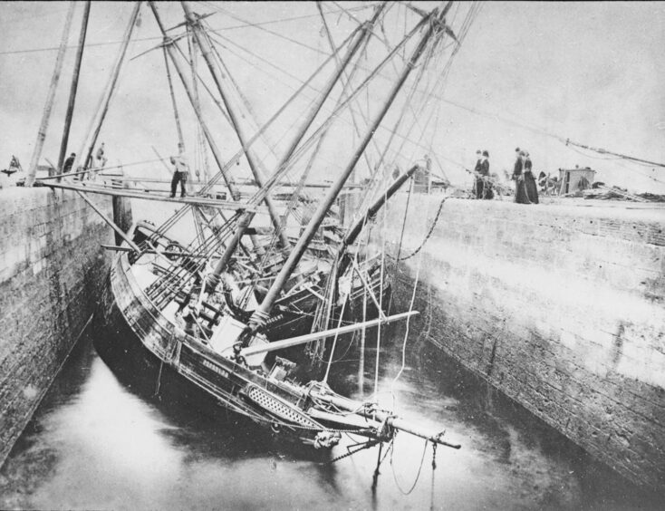
The Caledonian Canal was opened 200 years ago this year, and the P&J is celebrating.

Celebrating because it’s so much more than ‘just’ a canal.

It opened up a waterway from the Atlantic to the North Sea, saving ships from a perilous journey round Scotland’s north coast.

That’s very helpful — but again, it was much more than a lifesaver for trading ships.

The Caledonian Canal was the catalyst for massive growth, progress and change in the Highland, and that’s an understatement.

an engraving of interior view of The King's Stables, a cottage on Culloden Moor
This interior view of The King’s Stables, a cottage on Culloden Moor gives an indication of living conditions in the Highlands before the canal was built. Engraving, C1875, After William Henry James Boot. Picture by Granger/Shutterstock

In 1803, when construction got under way, there were only a few military and drove roads north of Inverness.

In some parts of the far north-west, they didn’t even have the wheel.

You read that right. It seems incredible.

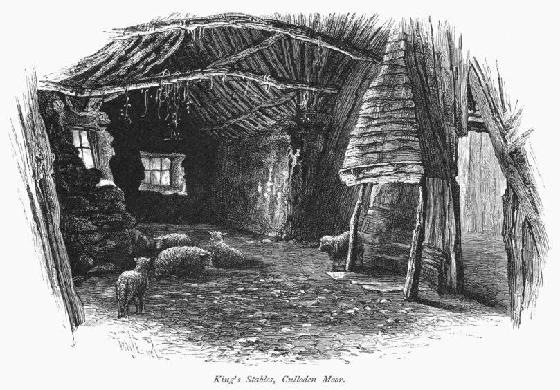
Goods were hauled around on sleds pulled by people, or maybe ponies if lucky.

The Highlands were draining people in their thousands.

They were emigrating for better lives either voluntarily or, notoriously, at the hands of landowners replacing them with sheep.

an engraving of Corriemulzie in the Highlands in 1848
Corriemulzie in the Highlands in 1848. Picture by Granger/Shutterstock

The squalor and poverty in which they lived is inconceivable to us now.

So how did the canal, which made up 22 miles of a 66-mile waterway down the Great Glen between Fort William and Inverness, create so much profound change?

It was clear to the ruling classes of the day that lack of infrastructure was the main hindrance to progress in the Highlands, and putting it in was the key to stopping mass emigration.

Telford commissioned to map out future Caledonian Canal

The government commissioned the greatest civil engineer of the age, Scotsman Thomas Telford to map out and cost up a canal down the Great Glen.

Battering through the many obstacles which could stand in the way of the canal, Telford charted its course.

Convinced, the government opened its coffers.

It had to keep on opening them for far longer than Telford initially proposed, but the commitment was there.

a wood engraving of a woman washing in the caledonian canal
The Caledonian Canal was intended to relieve primitive conditions in the Highlands. Wood Engraving, C1875, After Townley Green. Picture by Granger/Shutterstock

Its first benefit was to employ thousands of skilled and unskilled local labourers and spawn an ever-increasing plethora of support services upon which towns like Fort Augustus were built.

Real money was making its way into desperately poor homes, even if the labourers had to down tools (tools which incidentally they had to provide themselves) to go and get the harvest in or join the herring fleet.

Roads were built

Roads had to be built to service the canal operations, and these remain as the basic road network north of Inverness.

The canal took 18 years to build instead of the originally projected seven.

That’s almost two decades of employment for locals, and it didn’t stop there.

In one sense the canal was a failure, as by the time it was done, the age of rail was taking over transport and haulage.

The Napoleonic Wars were also over, meaning that safe passage for naval war ships was no longer needed, one of the early selling points of the canal.

An engraving of the Basin of Caledonian Canal at Muirtown near Inverness, Scotland
Basin of Caledonian Canal at Muirtown near Inverness, Scotland.  Hand-coloured engraving. Picture by Universal History Archive/UIG/Shutterstock

Ships had also grown much larger, and the canal was best suited now for the herring fishing fleet and steam packets plying goods along it.

But no one had banked on tourism, and now another wave of opportunities kicked in.

The increased wealth brought about by the canal could be exploited by savvy families able to service the needs of the burgeoning number of visitors to their locality.

The P&J is celebrating the canal’s big birthday with a series of articles about it.

Join us by drone as we travel west from Inverness along Caledonian Canal

To start with, click the video above for spectacular drone footage of the journey from Inverness to Loch Ness, the most easterly section of the 66-mile waterway.

Scottish Canals look after the waterway, and staff member Ailsa Andrews explains the lock system.

Tomorrow, we look at the canal’s construction and appeal to you the reader, to help put names to those who wrought it out of stone and mud with their bare hands.

On Wednesday, we reveal snapshots of life on the canal over the past two centuries.

two schooners became jammed together when entering the sea-lock at Clachnaharry.
On 2 April 1881, two schooners became jammed together when entering the sea-lock at Clachnaharry. They became wrecked as the tide receded and soon sank.  Supplied by Inverness Museum & Art Gallery, High Life Highland

Conversation