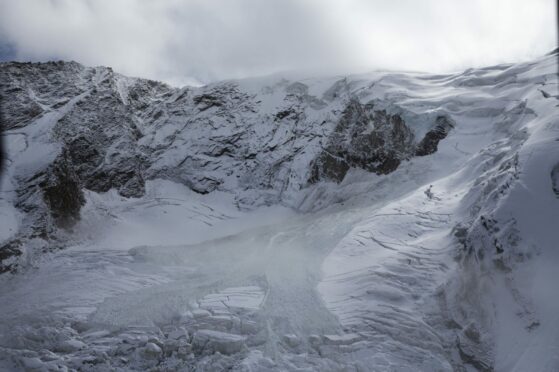
Aberdeen scientists studying a deadly avalanche in the Himalayas may have discovered a new way to assess an avalanche threat using satellite images.
Aberdeen University’s School of Geosciences used satellite imaging to study the movements of two avalanches in 2016 and one in 2021.
Both events happened in the same Himalayan valley, but a severe avalanche in February 2021 resulted in a flash flood that killed more than 200 people.
The team discovered that the remaining residue from the 2016 avalanche and subsequent snowfalls may have added to the severity of last year’s avalanche.
Using satellite datasets and modelling, the team found that the 2021 avalanche travelled eight miles despite consisting mostly of rocks.
More significantly, they detected suspicious movements on the glacier’s surface before the 2016 avalanche, which showed an emerging threat.
It could allow future research to calculate when there is a risk of an avalanche occurring by analysing satellite data.
While field-based observations have proven effective in predicting avalanches in the past, they are difficult to do on any widespread scale due to the difficulties and risks of operating in remote mountain areas.
The research, however, allows the team to cover large areas while monitoring hanging glaciers.
There have been 48 avalanches this season in Scotland
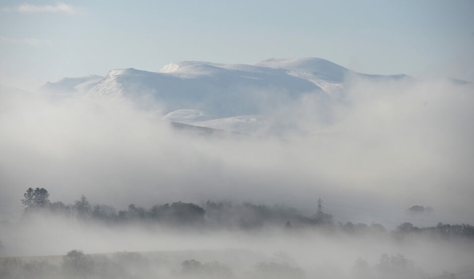
Mountain regions across the Highlands and Islands are also prone to avalanches and are monitored by the Scottish Avalanche Information Service (SAIS).
The SAIS reported a total of 17 avalanches across Scotland in January 2022, with a concentration of snowdrifts in the Cairngorms.
Dr Anshuman Bhardwaj and Dr Lydia Sam co-authored the study, published in the Remote Sensing journal.
Dr Sam said: “With more dedicated research on other similar past disasters, we might see the development of a possible framework to better evaluate the destructive nature of such avalanches.
Satellite images could offer a new way to monitor avalanche threats to remote mountain communities, according to Aberdeen scientists who have studied a deadly Himalayan avalanche that struck a year ago https://t.co/PUAMjas8fr pic.twitter.com/4hL0GRKVoa
— University of Aberdeen (@aberdeenuni) February 18, 2022
“Of course, there are uncertainties associated with remote sensing observations and more research is needed to identify statistically significant trends in surface displacements before avalanching.
“But this opens the possibility of developing a new monitoring framework that could be very valuable in protecting mountain communities in areas such as the Himalayas or the Andes in South America, which are already facing significant challenges due to climate change.”
Dr Bhardwaj added: “These are encouraging results which increase our understanding of the characteristics of these massive rock/ice avalanches, as well as their potential to cause future disasters.
“Such observations are very rare, and it has helped us better understand how one large avalanche event can enhance the magnitude of a repeat event in the same valley.”

