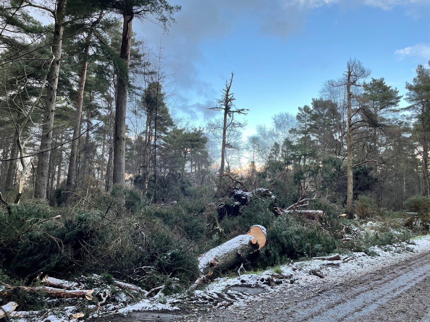
One year on from Storm Arwen, forestry staff are still working around the clock to reopen north-east forests devastated by its extreme winds.
When Arwen hit Scotland last year, it caused chaos across the country, bringing transport to a halt and resulting in power outages for thousands.

Over the course of the full extent of the storm from November 25 to 27, winds as fast as 90mph resulted in unprecedented damage to woodlands throughout Scotland, but nowhere was hit as badly as the eastern side of the country.
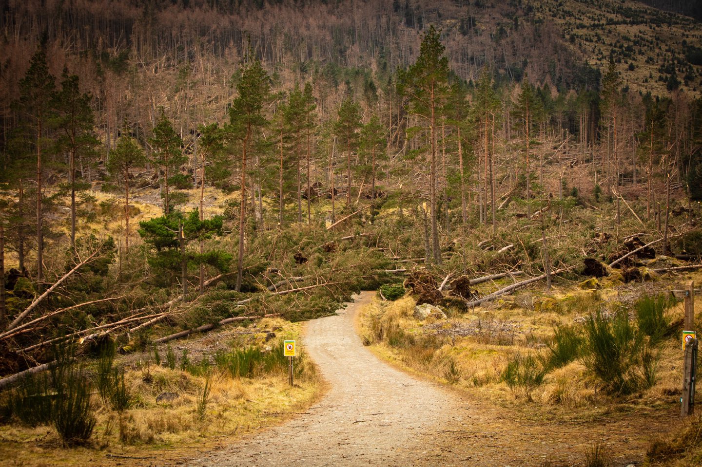
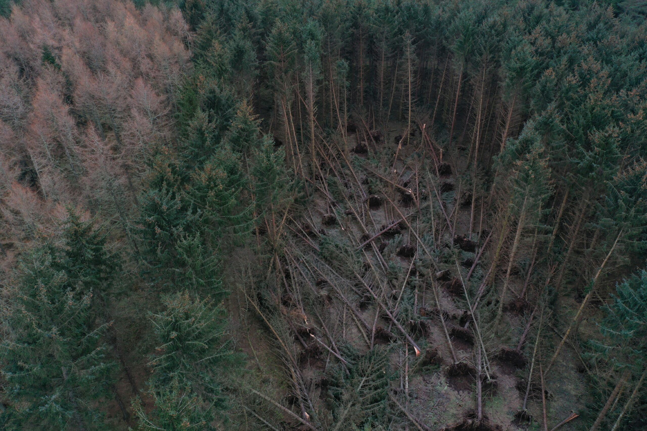
Countless trees were blown over or otherwise severely affected, and subsequent extreme weather, such as storms Malik and Corrie, finished off many weakened woods.
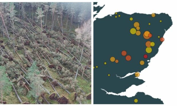
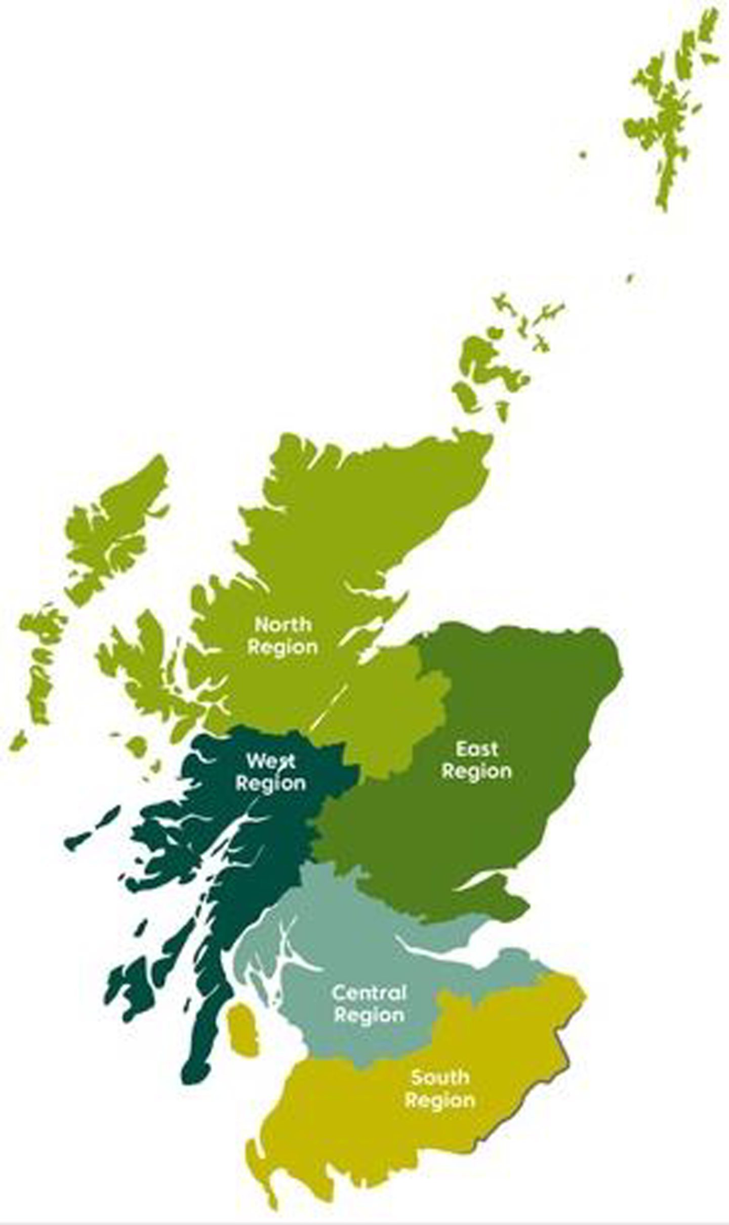
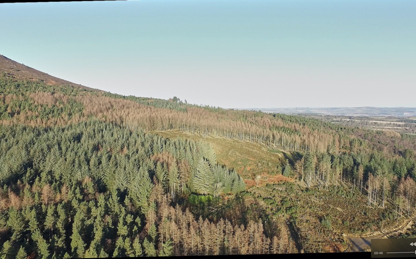
Forestry and Land Scotland (FLS) estimates that more than 2,648 hectares — or more than 10 square miles — of its forests were damaged by the storms in its East Region, which incorporates Aberdeen, Aberdeenshire and Moray.
In some of its forests, as much as 22% of the total number of trees were blown over by Arwen and following storms — forcing the government agency into completely redesigning its 10-year plans for some areas.
Click on this interactive map to see the Forestry and Land Scotland sites most impacted by Storm Arwen in its East Region.
Each circle represents a FLS site, and clicking each one will bring up more information about how big each area is, and what percentage of each area was damaged by the severe Arwen winds and the storms that followed.
How Forestry and Land Scotland dealt with ‘once in a generation’ Storm Arwen impact on forests
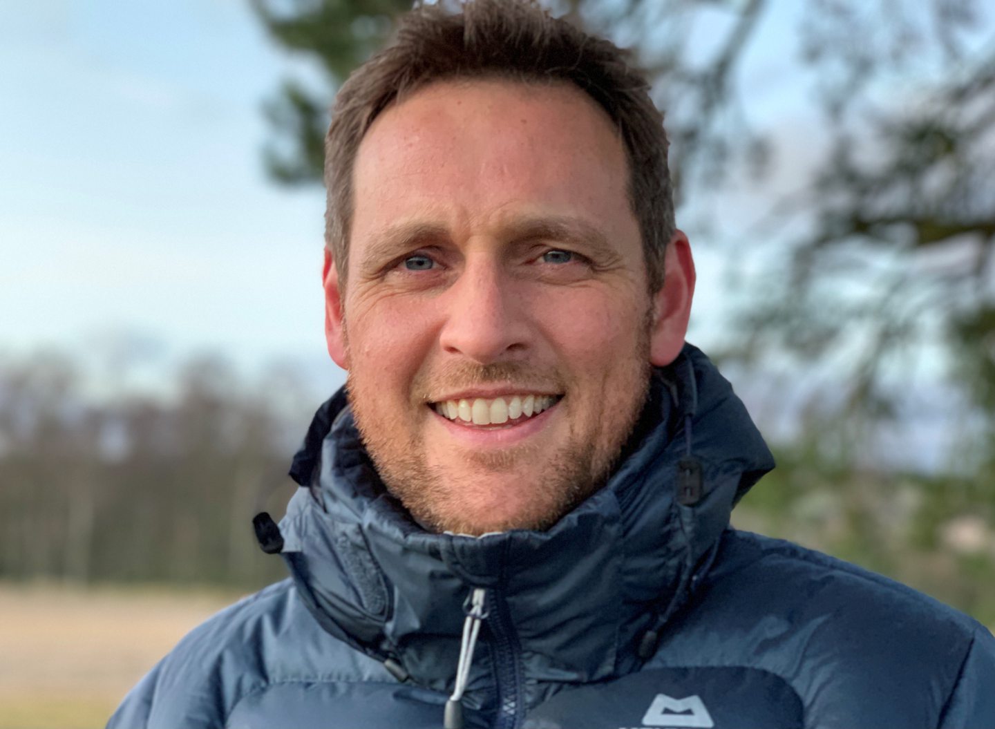
David Leven, the regional manager for the East Region for Forestry and Land Scotland, said the destruction caused to trees by Storm Arwen was a “once in a generation” disaster.
Tree species like Scots pine, larch, and Douglas fir were brought down by their thousand throughout the country.
David said the “epicentre” of the forest damage from Arwen was “Aberdeenshire, parts of Angus, and parts of upland Perthshire”.
He said: “More trees blew down as a consequence of the sequence of storms in East region than we normally harvest in a three-year period.
“It was really quite tough to deal with.
“We had foresters looking after and tending the land and forest for their whole career, and large parts of it had blown over in front of their eyes.”
He added: “There was a sequence of three or four very intense storms, and the wind direction as well made a difference.
“It was a once in a generation event. Very intense, and very localised.”
Impact of Arwen on some forests made FLS ‘rethink whole management plans’
Although trees were blown down across Aberdeen, Aberdeenshire and Moray, David said FLS sites which had a higher percentage of their trees damaged by Arwen will be the most seriously impacted.
Kemnay Woods in Aberdeenshire, for example, had 19% of its total area of trees destroyed by the high winds.
Glen Doll, in the Cairngorms National Park, also had around 19% of its 131 hectares of forest blown over.
David explained: “Every forest is subject to a land management plan, and they are devised over a period of time through consultation, and are set as a 10-year management strategy and plan for the forest.
“When you get devastation to the levels of 10%, 15%, 20%, then that means you almost have to restart and rethink the whole management plan process.
“Which is not all bad.
“It’s more work, but what it can do is lead to an acceleration of a process that’s underway to introduce more diverse forest structures, and more diverse biodiversity.”
Many areas of woodland are still shut after Arwen, but FLS regional manager is ‘really proud’ of huge efforts of staff
David explained that after helping in the initial emergency response in the immediate aftermath of Storm Arwen to assist in restoring power, preventing property damage and reinstating utilities, FLS staff got hard to work protecting the public from dangerous conditions in its forests.
Public paths and trails through FLS sites were shut off at popular walking destinations like the hills of Bennachie west of Inverurie, and Scolty near Banchory, over fears of damaged trees hurting anyone.
The FLS regional manager said: “The public safety priority was a big one for us in the initial weeks and months, and that led to us closing forests that are normally open to visitors.
“Our job is to open up access to forests, but unfortunately we had to remove that, and then on a prioritised basis and in a safe way, we have slowly reopened the forests.
“We haven’t been able to open them all yet, and that has led to quite a degree of criticism of us and our work.
“But we really want the public to stick with us and bear with us, and be patient and understand that we are prioritising public safety as we work through this workload as quickly as we can.”
David said the efforts of FLS staff have been “really outstanding, I’ve been really proud of all the staff”, and that they’ve been working under “really challenging circumstances for a year now.”
But how long will it be until public access is reinstated to all of the FLS sites in the East Region?
David said for access to “promoted sites”, such as the agency’s more popular walking and hiking destinations, “we would hope another small number of months”.
He continued: “In terms of the informal access that exists across the whole network of forest roads, it will be at least another couple of years.
“There’s just no rationale to go in and clear certain forest roads until such time as we’re doing wider operation in the forest.
“I know that is causing some frustration for people who walk dogs or ride horses in those areas, but we just don’t have the bandwidth to get everywhere in the short term.”
‘Silver linings’ from Storm Arwen’s destruction of our forests

“But there are some silver linings here too,” said David.
“For example, deadwood is good for biodiversity.
“We are looking to leave some of the windblown trees to decay, which will support our biodiversity objectives.
“We have also transported some of our trees into the River Dee network, where they can decay and support animal and plantlife on the borders of the river, and help with river restoration.”
Conversation