Heavy rain and gale force winds caused disruption across the north as Storm Erik blew in today.
Ferry services across the west and north coasts were cancelled as a result of gales which reached up 78mph, while a high wind speed of 90mph was recorded at the top of Cairngorm Mountain.
The Scottish Environment Protection Agency (Sepa) had flood warnings out across the north as Achnagart experienced 1.1in of rainfall, Tulloch Bridge 1in, Dalwhinnie 0.75in and Kinlochewe 0.73in.
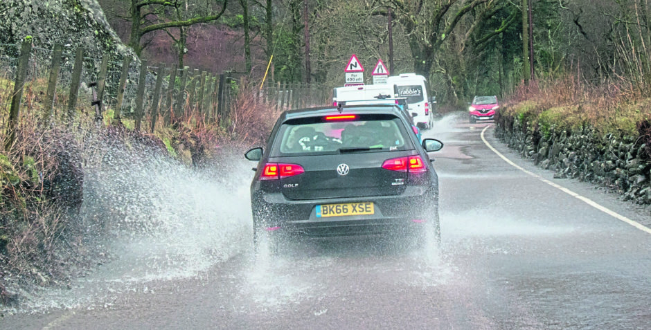
Police warned motorists to drive with caution as a result of the conditions.
The Met Office had yellow weather warnings for wind and rain in place until 3pm toda, covering much of the western half of the country as well as the central Highlands.
In Oban, flooding blackspot the Lochavullin car park started to fill up in the morning, but subsided before any major damage could be done.
Inspector David Hynd said: “The Met Office has issued a weather warning for rain and that conditions for travel across the Highland, Angus, Aberdeenshire, Moray, Perth and Kinross, Stirlingshire, Argyll & Bute areas may be hazardous due to rain and extra caution should be exercised.
“In addition, a second Yellow Weather Warning is in place that conditions for travel across the southwest Scotland areas of – Dumfries and Galloway, Ayrshire, Renfrewshire and Inverclyde, Argyll and West Dunbartonshire and south western fringe of the Highlands may be hazardous due to high winds and extra caution should be exercised.
“If you are driving a vehicle which may be vulnerable to being blown over in such conditions along exposed routes including bridges, please exercise additional caution and plan your route to avoid exposed areas or consider cancelling your journey until conditions improve.
“Previous incidents have clearly shown the dangers of driving vehicles vulnerable to being blown over in high wind conditions and the subsequent danger created for other road users, emergency services and recovery operatives where incidents have occurred due to drivers ignoring warnings.
“If you are travelling you should ensure you and your vehicle are adequately prepared for the conditions making sure you have sufficient fuel and supplies such as warm clothing, food and water in the event you are delayed for several hours. Charge your mobile phone and plan your route as well as alternative routes.”
>> Keep up to date with the latest news with The P&J newsletter
Met Office meteorologist Martin Bowles said severe gales would continue on Saturday in the middle of the day around the Moray Firth and its surrounding mountains and hills.
He said: “Exposed areas will see gusts of around 60-70mph while it will be around 45mph in cities like Aberdeen and Inverness.
“There will still be showers around on Sunday but it will be much less windy. Monday will be dry and bright.”
Video credit: NTS Mar Lodge Estate