A new strategy has been unveiled to help crofters on South Uist hold the sea back from their land that lies below the level of the waves.
The scientists behind it say kelp could be one of the keys to addressing the island’s ongoing problems with flooding that cost a family of five their lives in 2005.
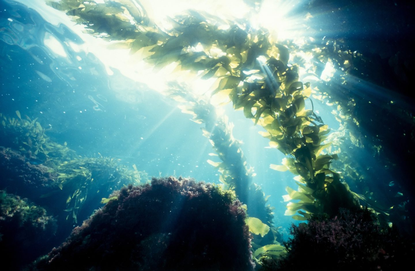
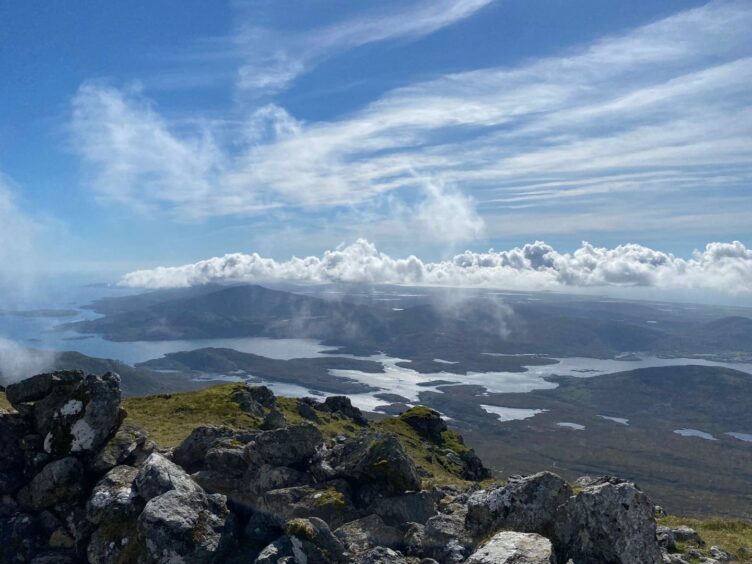
The precious beds of the aquatic plant stretching some four and a half miles west of Uist absorb wave energy, stripping them of power before they hit the coast.
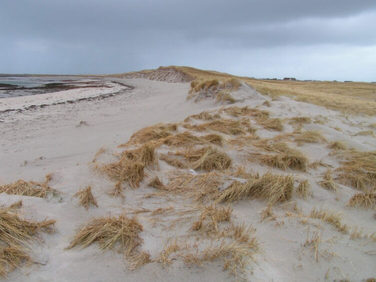
Kelp also helps when it casts up dead on the beach by trapping sand, which then provides a growing medium for plants, which creates a protective dune ridge.
For this reason, many crofters who gather it to fertilise crops take it from lower down the beach, leaving the rest to lie around the high water mark.
What does the South Uist flood strategy propose?
The new strategy being considered is the work of Professor Stewart Angus, NatureScot’s coastal ecology manager, and Professor Jim Hansom, from the University of Glasgow.
The main aim of the new approach is to build up the special dune ridges that protect the low-lying lands of South Uist and Benbecula from the waves.
Prof Angus said: “As sea level rises, the waves will increasingly operate above the kelp beds, so that the waves will hit the coast with more of their energy.”
Kelp is just one of the potential remedies for South Uist
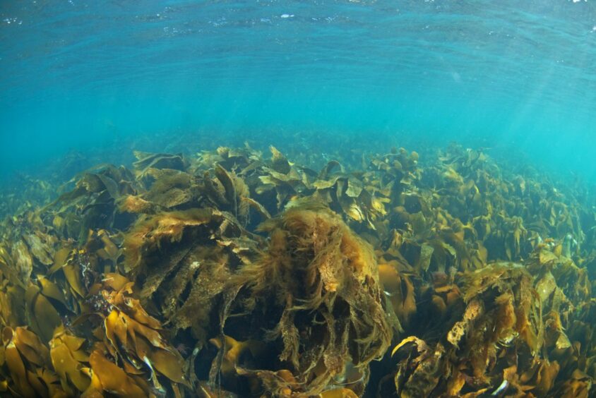
Kelp protection is just one of the remedies the new flood strategy is proposing.
Prof Angus said the first stage of the strategy could involve bringing together the expertise of academics and local people.
Together, they can come up with methods of improving the resilience of the environment to climate change and the threat of rising sea levels.
The second stage proposes to work with local people to investigate the potential for improving the drainage network, parts of which are 250 years old.
Prof Angus, who has been researching the Uist machair for nearly 40 years, said: “This is only part of the answer which is being offered to the people of Uist as a contribution to addressing the problems of climate change for the islands.”
Why is flood action needed?

The island has been beset by flooding issues for many years.
In early January, 2005, five members of one family were killed fleeing a storm.
Archie and Murdina Macpherson, their two children, five-year-old Hannah and seven-year-old Andrew, and Mrs Macpherson’s father, Calum Campbell, were in two separate cars.
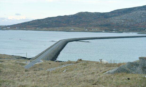
It is believed that the South Ford causeway running more than half a mile between Benbecula and South Uist acted as a dam.
The built-up water is thought to have burst into nearby villages and submerged roads at Iochdar, including, tragically, the one on which the Macphersons were driving.
Flooding from the rain also causes nearby lochs to overfill during periods of severe weather.
Only a few weeks ago the coastguard was called after a car got stuck with people trapped inside after road flooding.
Prof Angus said the new strategy would attempt to minimise the impact of both sources of flooding.
How much would it cost?
For the initial stage, around £3 million, which could involve recruiting three to four people who would bring the crofters and the academics together and communicate the ideas that they co-develop.
Prof Angus said a second phase may involve additional expenditure to cover the projects that are suggested by the first phase, including major projects like improving the drainage network.
How can we get the ball rolling, and who would pay for it?

Theoretically, significant amounts of cash are available, but someone needs to put a bid together to access it.
The case needs to be strong and fully-costed to secure money from big funders like the National Lottery, but bid writing has to be done with someone who has the expertise and the time.
It is not yet known which of the many authorities involved can spare the staffing resources, although it is understood discussions are being held to thrash out an action plan.
The land is owned by Storas Uibhist, which in 2006 completed Scotland’s biggest community buy-out by purchasing the 93,000-acre South Uist Estates, which covers most of South Uist and Eriskay, and much of Benbecula.
The Scottish Government is responsible for the maintenance of a drainage system in South Uist.
Conversation