Calendar An icon of a desk calendar. Cancel An icon of a circle with a diagonal line across. Caret An icon of a block arrow pointing to the right. Email An icon of a paper envelope. Facebook An icon of the Facebook "f" mark. Google An icon of the Google "G" mark. Linked In An icon of the Linked In "in" mark. Logout An icon representing logout. Profile An icon that resembles human head and shoulders. Telephone An icon of a traditional telephone receiver. Tick An icon of a tick mark. Is Public An icon of a human eye and eyelashes. Is Not Public An icon of a human eye and eyelashes with a diagonal line through it. Pause Icon A two-lined pause icon for stopping interactions. Quote Mark A opening quote mark. Quote Mark A closing quote mark. Arrow An icon of an arrow. Folder An icon of a paper folder. Breaking An icon of an exclamation mark on a circular background. Camera An icon of a digital camera. Caret An icon of a caret arrow. Clock An icon of a clock face. Close An icon of the an X shape. Close Icon An icon used to represent where to interact to collapse or dismiss a component Comment An icon of a speech bubble. Comments An icon of a speech bubble, denoting user comments. Comments An icon of a speech bubble, denoting user comments. Ellipsis An icon of 3 horizontal dots. Envelope An icon of a paper envelope. Facebook An icon of a facebook f logo. Camera An icon of a digital camera. Home An icon of a house. Instagram An icon of the Instagram logo. LinkedIn An icon of the LinkedIn logo. Magnifying Glass An icon of a magnifying glass. Search Icon A magnifying glass icon that is used to represent the function of searching. Menu An icon of 3 horizontal lines. Hamburger Menu Icon An icon used to represent a collapsed menu. Next An icon of an arrow pointing to the right. Notice An explanation mark centred inside a circle. Previous An icon of an arrow pointing to the left. Rating An icon of a star. Tag An icon of a tag. Twitter An icon of the Twitter logo. Video Camera An icon of a video camera shape. Speech Bubble Icon A icon displaying a speech bubble WhatsApp An icon of the WhatsApp logo. Information An icon of an information logo. Plus A mathematical 'plus' symbol. Duration An icon indicating Time. Success Tick An icon of a green tick. Success Tick Timeout An icon of a greyed out success tick. Loading Spinner An icon of a loading spinner. Facebook Messenger An icon of the facebook messenger app logo. Facebook An icon of a facebook f logo. Facebook Messenger An icon of the Twitter app logo. LinkedIn An icon of the LinkedIn logo. WhatsApp Messenger An icon of the Whatsapp messenger app logo. Email An icon of an mail envelope. Copy link A decentered black square over a white square.

New guide book will reveal how Ben Nevis was made

Ben Nevis
Ben Nevis

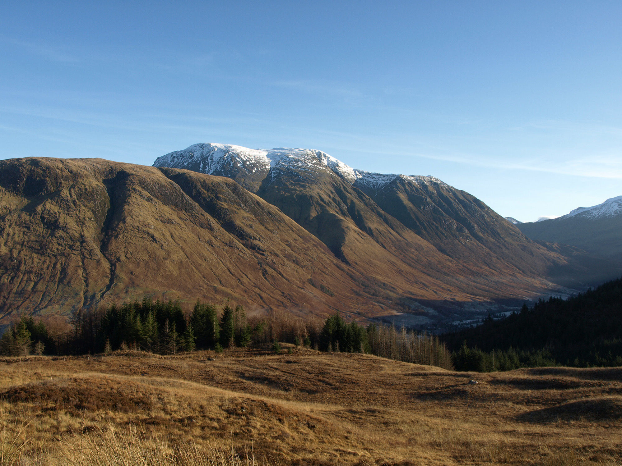
It is one of the wonders of Scotland, climbed by thousands of visitors each year, but few of those who are drawn to Ben Nevis appreciate the wonders beneath their feet.

Now a new guide to Britain’s highest mountain sets out the geological features of the 4,409ft peak and the events which shaped the area’s spectacular scenery.

The story of how the UK’s highest peak was formed is being told in a joint project between Lochaber Geopark and the British Geological Survey.

The book, expected to be available in April, will be aimed at visitors, people with an interest in geology, walkers, the local community, schools and students.

It is hoped it will help to boost the local economy by promoting it as a centre for “geo-tourism”.

Noel Williams, of Lochaber Geopark, said: “Many visitors each year come to see or climb Ben Nevis.

“The aim of the new map and guide is to explain the story of how Glen Nevis and the neighbouring mountains were formed.

“This tale involves mountain building, fire and ice.”

Mr Williams said the guide would give an overview of the main events which shaped the local rocks.

He said: “To help bring this information to life, it also gives details of eight walks in the Nevis area.

“The outings are graded for difficulty and range from simple circuits in the floor of Glen Nevis to the more demanding ascent of Ben Nevis itself.

“Accompanying the guide will be a new geological map of the area showing the line of the walks and the rocks they cross.

“The map is well illustrated with some of the landscape features and plant life seen on the walks.”

Mr Williams said the publication would be in the same format as an existing map and guide to Assynt further to the north, which has helped to boost the appeal of that area.

He added: “It is aimed at the non-specialist and should be of great interest to those wishing to find out more about how the spectacular local scenery was formed.”