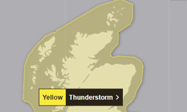
The Met Office has issued a yellow weather warning for thunderstorms, starting in the early hours of Monday.
The warning is for the whole of Scotland and many of its islands.
The storm is due to hit around 2am on Monday morning and last until 1pm the same day.
The severe weather is expected to develop over western parts of the UK and move north-east during the second half of Sunday night.
The Met Office says that “not all parts of the warning area” should be affected – but that an area of “increasingly organised thunderstorms” is likely to produce a combination of frequent lightning, heavy rain, hail and short periods of strong winds.
Some torrential downpours are likely, the forecasters say, with 20-40 mm in places, and potential for 40-60 mm of rain to fall in 1-2 hours very locally, with hail up to 2 cm in diameter.
Thunderstorms will be short-lived
The thunderstorms are expected to clear towards the north-east by Monday afternoon.
A spokesperson for the Met Office said: “Thunderstorms may cause some disruption and damage to infrastructure during Monday.
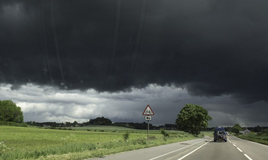
“Spray and sudden flooding could lead to difficult driving conditions and some road closures.
“There is a small chance that some communities become temporarily cut off by flooded roads.
“Where flooding or lightning strikes occur, there is a chance of delays and some cancellations to train and bus services.
“There is a slight chance that power cuts could occur and other services to some homes and businesses could be lost.”
Adding: “There is a small chance that homes and businesses could be flooded quickly, with damage to some buildings from floodwater, lightning strikes, hail or strong winds.”
Our reporters are working to bring you the latest updates on this developing story.
Please check back later for more and follow The Press and Journal on Facebook and online for breaking news.


Conversation