Calendar An icon of a desk calendar. Cancel An icon of a circle with a diagonal line across. Caret An icon of a block arrow pointing to the right. Email An icon of a paper envelope. Facebook An icon of the Facebook "f" mark. Google An icon of the Google "G" mark. Linked In An icon of the Linked In "in" mark. Logout An icon representing logout. Profile An icon that resembles human head and shoulders. Telephone An icon of a traditional telephone receiver. Tick An icon of a tick mark. Is Public An icon of a human eye and eyelashes. Is Not Public An icon of a human eye and eyelashes with a diagonal line through it. Pause Icon A two-lined pause icon for stopping interactions. Quote Mark A opening quote mark. Quote Mark A closing quote mark. Arrow An icon of an arrow. Folder An icon of a paper folder. Breaking An icon of an exclamation mark on a circular background. Camera An icon of a digital camera. Caret An icon of a caret arrow. Clock An icon of a clock face. Close An icon of the an X shape. Close Icon An icon used to represent where to interact to collapse or dismiss a component Comment An icon of a speech bubble. Comments An icon of a speech bubble, denoting user comments. Comments An icon of a speech bubble, denoting user comments. Ellipsis An icon of 3 horizontal dots. Envelope An icon of a paper envelope. Facebook An icon of a facebook f logo. Camera An icon of a digital camera. Home An icon of a house. Instagram An icon of the Instagram logo. LinkedIn An icon of the LinkedIn logo. Magnifying Glass An icon of a magnifying glass. Search Icon A magnifying glass icon that is used to represent the function of searching. Menu An icon of 3 horizontal lines. Hamburger Menu Icon An icon used to represent a collapsed menu. Next An icon of an arrow pointing to the right. Notice An explanation mark centred inside a circle. Previous An icon of an arrow pointing to the left. Rating An icon of a star. Tag An icon of a tag. Twitter An icon of the Twitter logo. Video Camera An icon of a video camera shape. Speech Bubble Icon A icon displaying a speech bubble WhatsApp An icon of the WhatsApp logo. Information An icon of an information logo. Plus A mathematical 'plus' symbol. Duration An icon indicating Time. Success Tick An icon of a green tick. Success Tick Timeout An icon of a greyed out success tick. Loading Spinner An icon of a loading spinner. Facebook Messenger An icon of the facebook messenger app logo. Facebook An icon of a facebook f logo. Facebook Messenger An icon of the Twitter app logo. LinkedIn An icon of the LinkedIn logo. WhatsApp Messenger An icon of the Whatsapp messenger app logo. Email An icon of an mail envelope. Copy link A decentered black square over a white square.

Highland flood protection schemes to go out to consultation

The site of the Caol flood protection scheme.

Plans to protect two areas from future flooding could soon go out to the public for feedback.

The flood protection schemes for Inverness and Fort William have been drawn up to prevent residents of Smithton, Culloden and Caol from the threat of losing their home.

On Wednesday, members of Highland Council’s planning committee will be asked to approve a public consultation on the schemes.

A report before councillors says the draft flood prevention schemes drawings and descriptions of operations are now sufficiently developed to allow formal consultation.

It states: “Once committee approval to commence formal consultation on the draft flood protection schemes is received, the design teams will prepare the formal documents, notices and adverts as required by the act.”

Smithton and Culloden, east of Inverness, has suffered from flooding over a number of years, from 1999 up to last year.

A number of small watercourses run off Culloden Moor towards the sea and pass through the heavily developed areas.

The protection scheme comprises of flood storage areas in Culloden Park and in Smithton Park.

There is also to be an up-sized culvert between Redburn and Ferntower Avenue, and the creation of a new open watercourse from the Railway Line to Tower Road.

Residents of Smithton were given the chance to view an early draft of the scheme earlier this year.

The event was well attended, and engineers and council officers used their feedback – which included concerns relating to the proximity of the pitches to the open watercourse in Smithton Park – to alter the plans.

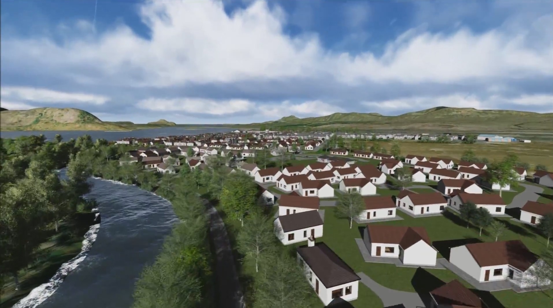
Caol, north of Fort William – which is bounded by the River Lochy to the southeast and Loch Linnhe to the southwest – has flooding several times in recent decades, most recently in 2005.

Under the plans for the village, a mile-long flood defence consisting of a 3,937ft embankment and wave wall would be built along the shore of the loch. A half-mile wall would be built at the river.

About 300 properties at risk of flooding would be protected.

The consultations are expected to run next spring, before a report and cost estimates go back to committee.