Calendar An icon of a desk calendar. Cancel An icon of a circle with a diagonal line across. Caret An icon of a block arrow pointing to the right. Email An icon of a paper envelope. Facebook An icon of the Facebook "f" mark. Google An icon of the Google "G" mark. Linked In An icon of the Linked In "in" mark. Logout An icon representing logout. Profile An icon that resembles human head and shoulders. Telephone An icon of a traditional telephone receiver. Tick An icon of a tick mark. Is Public An icon of a human eye and eyelashes. Is Not Public An icon of a human eye and eyelashes with a diagonal line through it. Pause Icon A two-lined pause icon for stopping interactions. Quote Mark A opening quote mark. Quote Mark A closing quote mark. Arrow An icon of an arrow. Folder An icon of a paper folder. Breaking An icon of an exclamation mark on a circular background. Camera An icon of a digital camera. Caret An icon of a caret arrow. Clock An icon of a clock face. Close An icon of the an X shape. Close Icon An icon used to represent where to interact to collapse or dismiss a component Comment An icon of a speech bubble. Comments An icon of a speech bubble, denoting user comments. Comments An icon of a speech bubble, denoting user comments. Ellipsis An icon of 3 horizontal dots. Envelope An icon of a paper envelope. Facebook An icon of a facebook f logo. Camera An icon of a digital camera. Home An icon of a house. Instagram An icon of the Instagram logo. LinkedIn An icon of the LinkedIn logo. Magnifying Glass An icon of a magnifying glass. Search Icon A magnifying glass icon that is used to represent the function of searching. Menu An icon of 3 horizontal lines. Hamburger Menu Icon An icon used to represent a collapsed menu. Next An icon of an arrow pointing to the right. Notice An explanation mark centred inside a circle. Previous An icon of an arrow pointing to the left. Rating An icon of a star. Tag An icon of a tag. Twitter An icon of the Twitter logo. Video Camera An icon of a video camera shape. Speech Bubble Icon A icon displaying a speech bubble WhatsApp An icon of the WhatsApp logo. Information An icon of an information logo. Plus A mathematical 'plus' symbol. Duration An icon indicating Time. Success Tick An icon of a green tick. Success Tick Timeout An icon of a greyed out success tick. Loading Spinner An icon of a loading spinner. Facebook Messenger An icon of the facebook messenger app logo. Facebook An icon of a facebook f logo. Facebook Messenger An icon of the Twitter app logo. LinkedIn An icon of the LinkedIn logo. WhatsApp Messenger An icon of the Whatsapp messenger app logo. Email An icon of an mail envelope. Copy link A decentered black square over a white square.

Hurricane Gonzalo hits the north tonight

Hurricane Gonzalo to hit UK

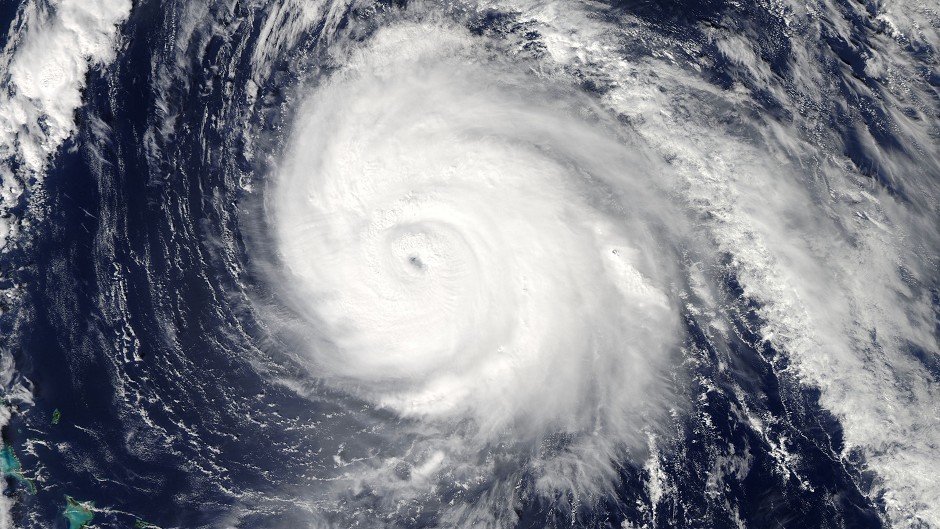
The north is bracing itself for the tail-end of Hurricane Gonzalo arriving tonight.

The winds are expected to start getting strong this evening, with gusts of up to 80mph expected tomorrow.

The Met Office put out a yellow weather warning covering Highland, Western Isles, Grampian, Orkney and Shetland, South West Scotland, Lothian and Strathclyde.

Ferry operator CalMac issued a warning tonight that all of tomorrow’s sailings between Mallaig and the Small Isles have been cancelled.

It said the first two morning sailings to the isle of Islay have been cancelled and decisions will be taken about later sailings going ahead as the morning wears on.

It also warned that tomorrow’s sailings to Iona, Lewis, North Uist and Harris were on amber alert, meaning that they could be disrupted or cancelled at short notice.

CalMac also stated that sailings to Ardnamurchan, Barra, South Uist, Coll, Tiree, Colonsay, Mull, and Lismore were all likely to be disrupted.

The company brought forward its sailing from Colonsay to Oban from tomorrow at 7.50am to tonight at 7.30pm to avoid the worst of the wild weather.

A spokesman said: “CalMac Ferries apologise for any inconvenience this may cause.”

Met Office chief forecaster Frank Saunders said: “The remains of Hurricane Gonzalo are running across the Atlantic, reaching the UK on Monday night, bringing a period of strong winds to the UK.

“The strongest winds are expected on Tuesday as the low pressure clears eastwards. Some uncertainty remains in peak wind speeds but there remains the potential for disruption to travel, especially as the strongest winds coincide with the morning rush hour in places.

“Fallen leaves impeding drainage increases the risk of surface water affecting roads, while some damage to trees is possible, given that many are still in full leaf.”

A Met Office spokesman added: “Gales, and more locally severe gales, are expected to affect much of the country on Tuesday. While Monday night will see wet and windy conditions sweeping eastwards, the strongest winds are expected to occur after the rain clears and winds veer northwesterly through Tuesday morning. Gusts exceeding 55mph are likely inland, with 60 to 70mph gusts in some exposed coastal areas in the west and possibly to around 80mph around coasts in northern Scotland.

“The public should be aware of the potential for disruption to travel and possible damage to trees. Difficult driving conditions will result, perhaps exacerbated by surface water and spray in places.”

A spokesman for Argyll and Bute Council said: “With gusts up to 60/70mph possible in exposed coastal areas, there could be disruption to travel and difficult driving conditions.

“If you’re out and about on the roads, please take care and plan your journey carefully.”