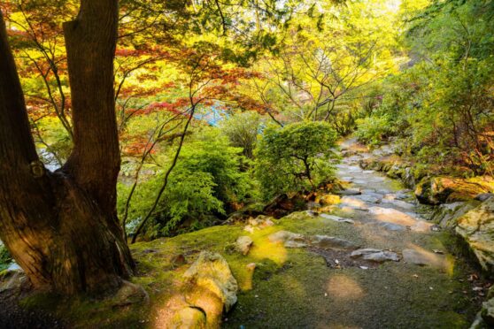
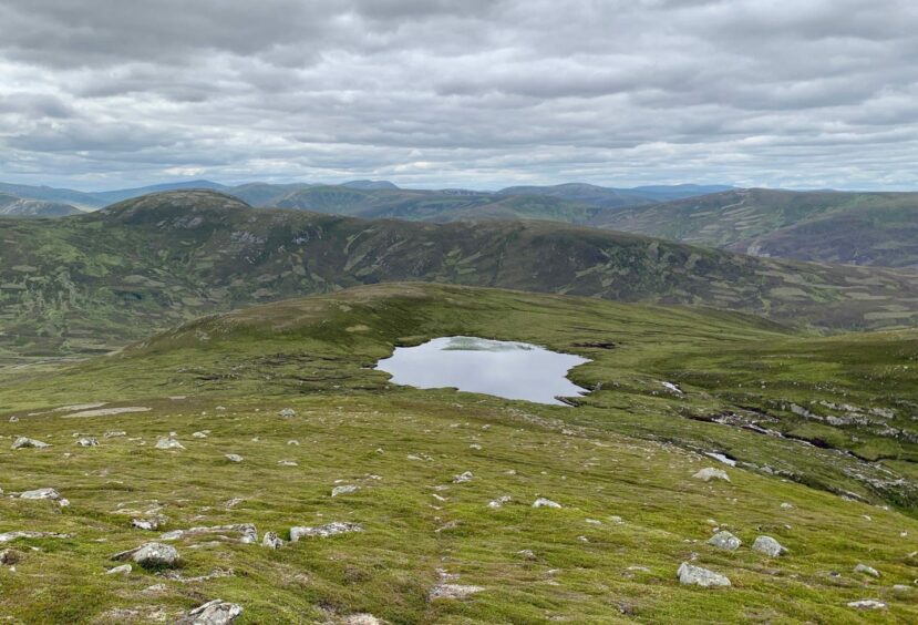
Callater summits, Glen Clunie, Perth & Kinross
The Glen Callater track is a popular thoroughfare for those heading to the Munros around Lochnagar and the high points of Jock’s Road and for the circuit of the Corbett Creag nan Gabhar.
But look to the left of the Callater Burn on the way south and you’ll discover a long, undulating ridge of rough, craggy and generally overlooked summits which suggest a fine high-level walk.
Much of the route is on track and good hill paths, but there are some very rough sections – the last two descents in particular will likely test the patience – but they are awkward rather than dangerous. Just think of it as a character-building exercise.
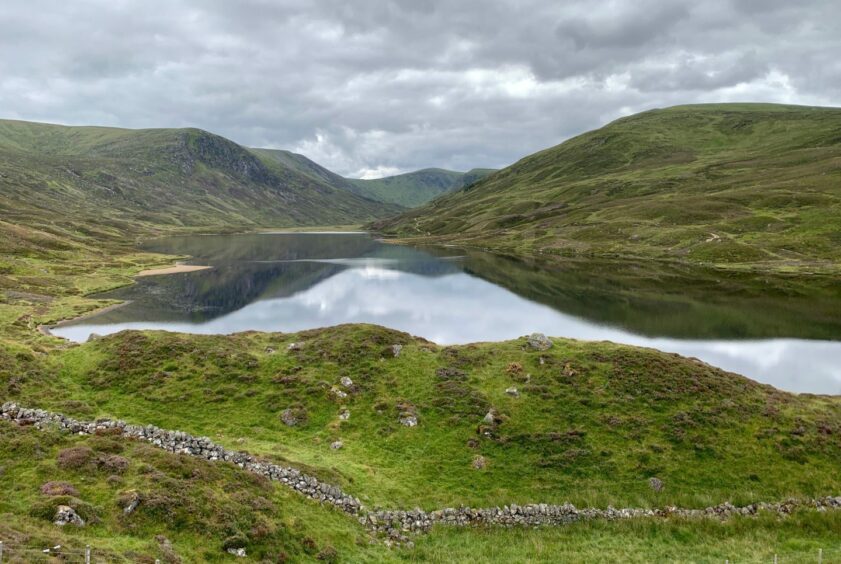
The stroll inward by the burn is an easy introduction. The path which heads uphill just before the entrance to Lochcallater Lodge also makes for fast progress but if time is not an issue, it’s worth using the stile and detouring to catch the view down the length of Loch Callater. A walk round the shores is a fine alternative for those who don’t fancy the high ground.
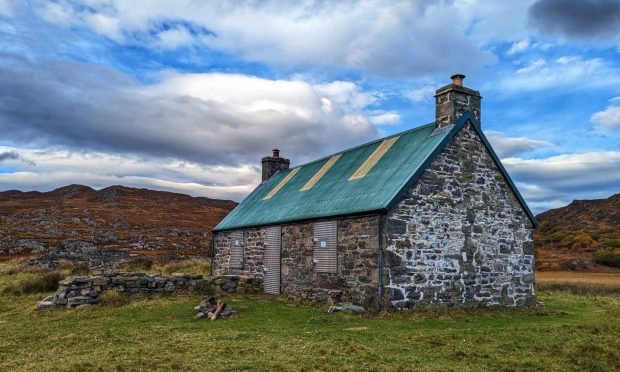
The Callater Stables bothy, the open shelter maintained by the Mountain Bothies Association and used as a training base by mountain rescue teams, is also a handy spot for an early lunch.
The path gains height quickly then slices across the heather slope above the loch before swinging left and heading towards Carn an t-Sagairt Mor (the big hill of the priest). My route went left just before the path started making began the final climb to the Munro, a short but surprisingly rough ascent through heather and boulders, to reach the summit of Creag an Loch.
The hill is named for the small lochan on its crest, but the mapped patch of blue turned out to be just a depression of parched earth, another casualty of the dry summer.
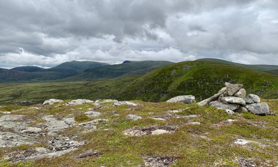
The going was easy along a broad ridge and I was soon standing at summit No.2, Meall an t-Slugain, the tumbled remains of a stone shelter set among a chaos of boulders.
There’s a substantial cleft and some feisty crags directly ahead so it was necessary to drop steeply west on easier slopes towards the oasis of Loch Phadruig, another landmark in this glen with clerical connotations.
I swung right before reaching the loch to push my way up thick heather to the top of Creag Loisgte , another fine viewpoint for the Lochnagar range. This is the point of escape if you don’t fancy what follows: make a drop back to the loch then continue west to the bridge over the Callater Burn.

From the next top, Creag na Dearcaige, head a little to the left before descending. It looks horrendous at first, but it’s merely awkward and you are soon heading uphill again to the prominent summit of Creag nan Leachda.
The lochan marked at the end of this ridge did exist and the next descent west to the high fence across the col was gentle. After passing through the gate, a grassy ramp provided a convenient line to the top of Millstone Hill where there were superb views down the length of Glen Clunie and over to Morrone.

That just left the final descent. There’s not much to say really, except keep your height and don’t be tempted to drop left too soon. The lower regions of heather, boulders and bog are unavoidable to a greater or lesser degree but keep thinking happy thoughts and don’t let it taint a lovely ridge walk.
ROUTE
1. Take track from car park which turns into Glen Callater and follow south by Callater Burn.
2. About 1km after crossing bridge, keep left when track splits and head towards Lochcallater Lodge.
3. When you reach metal entry gate, turn left on path going uphill. Detour: It is worth crossing wooden stile to visit bothy and to get fine view of Loch Callater before returning to path.
4. This heads north-east at first then swings right across slope high above the loch, then turns north-east again to reach col between Creag an Loch and Carn an t-Saigart Mor.
5. Turn left and make short climb on heather and boulder slope to summit of Creag an Loch.
6. Continue along ridge to reach higher top of Meall an t-Slugain.
7. To avoid crags, descend steeply west towards Loch Phadruig then swing north again to ascend Creag Loiste. To cut circuit short, return to loch and take direct line west to bridge for track walk back to start.
8. From next top, Creag na Dearcaige, go short distance to left before turning down steep and rough heather slope to next col and climb to Creag na Leachda.
9. Continue north-west along ridge past lochan, drop west to wide col and go through gate in high fence for short rise to Millstone Cairn.
10. Stick to ridge-line for descent south-west aiming for wooden gate in fence which leads to A93 at road bridge beside car park.
INFORMATION
Distance: 15.5km/9.5miles
Ascent: 824m/2705ft
Time: 4.5-6 hours
Grading: Quiet and interesting route for well-equipped walkers with good level of mountain fitness and navigation skills. Estate tracks and hill paths to start then high-level return over increasingly rough, pathless terrain. Dogs under close control due to ground nesting birds and grazing sheep.
Start/finish: Parking area at Auchallater (Grid ref: NO 155881) 3km south of Braemar (charges apply).
Map: Ordnance Survey 1:50,000 Landranger Map 43 (Braemar & Blair Atholl); Ordnance Survey 1:25,000 Explorer sheet 52.
Tourist Information: VisitScotland, Ballater iCentre, Station Square, Ballater, AB35 5QB (Tel 01339 755306).
Public transport: None.