Calendar An icon of a desk calendar. Cancel An icon of a circle with a diagonal line across. Caret An icon of a block arrow pointing to the right. Email An icon of a paper envelope. Facebook An icon of the Facebook "f" mark. Google An icon of the Google "G" mark. Linked In An icon of the Linked In "in" mark. Logout An icon representing logout. Profile An icon that resembles human head and shoulders. Telephone An icon of a traditional telephone receiver. Tick An icon of a tick mark. Is Public An icon of a human eye and eyelashes. Is Not Public An icon of a human eye and eyelashes with a diagonal line through it. Pause Icon A two-lined pause icon for stopping interactions. Quote Mark A opening quote mark. Quote Mark A closing quote mark. Arrow An icon of an arrow. Folder An icon of a paper folder. Breaking An icon of an exclamation mark on a circular background. Camera An icon of a digital camera. Caret An icon of a caret arrow. Clock An icon of a clock face. Close An icon of the an X shape. Close Icon An icon used to represent where to interact to collapse or dismiss a component Comment An icon of a speech bubble. Comments An icon of a speech bubble, denoting user comments. Comments An icon of a speech bubble, denoting user comments. Ellipsis An icon of 3 horizontal dots. Envelope An icon of a paper envelope. Facebook An icon of a facebook f logo. Camera An icon of a digital camera. Home An icon of a house. Instagram An icon of the Instagram logo. LinkedIn An icon of the LinkedIn logo. Magnifying Glass An icon of a magnifying glass. Search Icon A magnifying glass icon that is used to represent the function of searching. Menu An icon of 3 horizontal lines. Hamburger Menu Icon An icon used to represent a collapsed menu. Next An icon of an arrow pointing to the right. Notice An explanation mark centred inside a circle. Previous An icon of an arrow pointing to the left. Rating An icon of a star. Tag An icon of a tag. Twitter An icon of the Twitter logo. Video Camera An icon of a video camera shape. Speech Bubble Icon A icon displaying a speech bubble WhatsApp An icon of the WhatsApp logo. Information An icon of an information logo. Plus A mathematical 'plus' symbol. Duration An icon indicating Time. Success Tick An icon of a green tick. Success Tick Timeout An icon of a greyed out success tick. Loading Spinner An icon of a loading spinner. Facebook Messenger An icon of the facebook messenger app logo. Facebook An icon of a facebook f logo. Facebook Messenger An icon of the Twitter app logo. LinkedIn An icon of the LinkedIn logo. WhatsApp Messenger An icon of the Whatsapp messenger app logo. Email An icon of an mail envelope. Copy link A decentered black square over a white square.

Kemnay residents object to planning application which could restrict 300-year-old public right of way

A controversial planning application is proposing a change of use from rough ground to domestic garden ground at a private property in Kemnay.

Richard McGhee on the old drovers road where branches appear to have been dumped to make access more difficult.
Resident Richard McGhee claims branches have been dumped on the old Drovers' road to make access more difficult. Image: Kath Flannery/DC Thomson

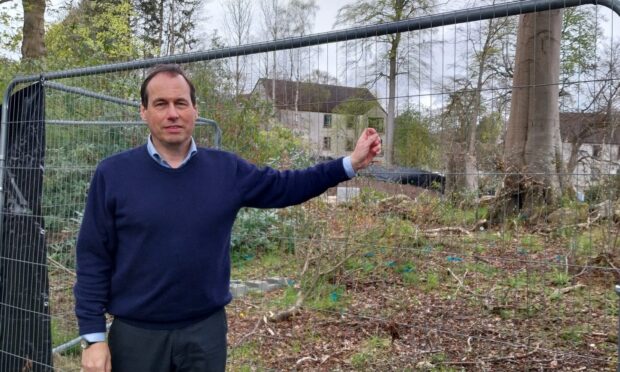
Residents and ramblers in Kemnay have banded together to protect a public right of way.

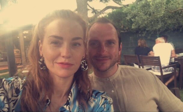
The Kennedy family, who own Dalmore House, at Brownhill, want to extend their garden and erect a new fence on what has been described as “rough land”.

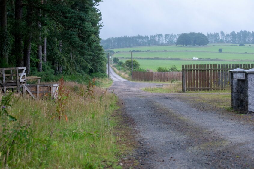
But locals are furious at the plans – insisting the route is a historic public right of way along an old drovers’ road.

These old paths were used by farmers and crofters to move livestock in the 1700s and 1800s and are still classed as public walkways today.

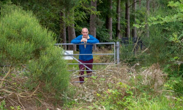
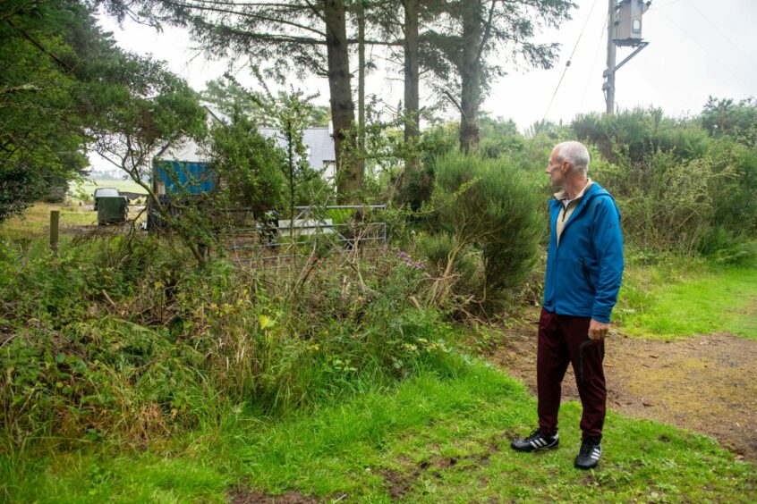
They claim that in recent weeks and months, the route has been harder to access as “obstacles” such as branches have been put across to obstruct the gate.

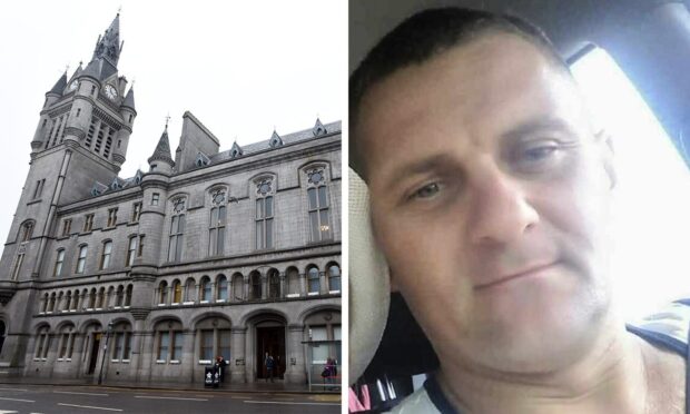
A dozen objections have been lodged with Aberdeenshire Council from individuals, local walking groups and Kemnay Community Council.

Old Drovers' road
The old drovers road with forestry land on one side and the property on the other. Image: Kath Flannery/DC Thomson

What are the plans?

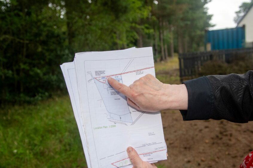
The Kennedys are applying for a change of use for the strip of land running alongside their property.

The land – situated between the property and surrounding woodland – is currently labelled as rough ground. It is called ‘No Man’s Land’ in the application.

However, the Kennedy family has applied for this to be registered as domestic garden ground and also for the erection of a fence.

The proposed new 3.9ft (1.2m) timber fence to match the already existing south-western and east boundary will be placed on the northern side of disputed strip of land.

This will enclose the space and make it part of the property.

When asked in the planning application if it will propose a change to public paths or public rights of way, “no” was selected.

‘A desire line’

Kemnay Community Council (KCC) and the council natural environment team objected to the proposal due to it being a “public outdoor access route”.

KCC called the route a “desire line” – an unplanned small trail created by human or animal traffic – and stated: “The land affected by the proposed development was, until relatively recent times, a road or track used for outdoor access.

“This historic use further underlines that it should remain available for outdoor access.”

Janet Lees, who sold the land to the current owner, with maps of the area.
Janet Lees, who sold the land to the current owner, with maps of the area. Image: Kath Flannery/DC Thomson

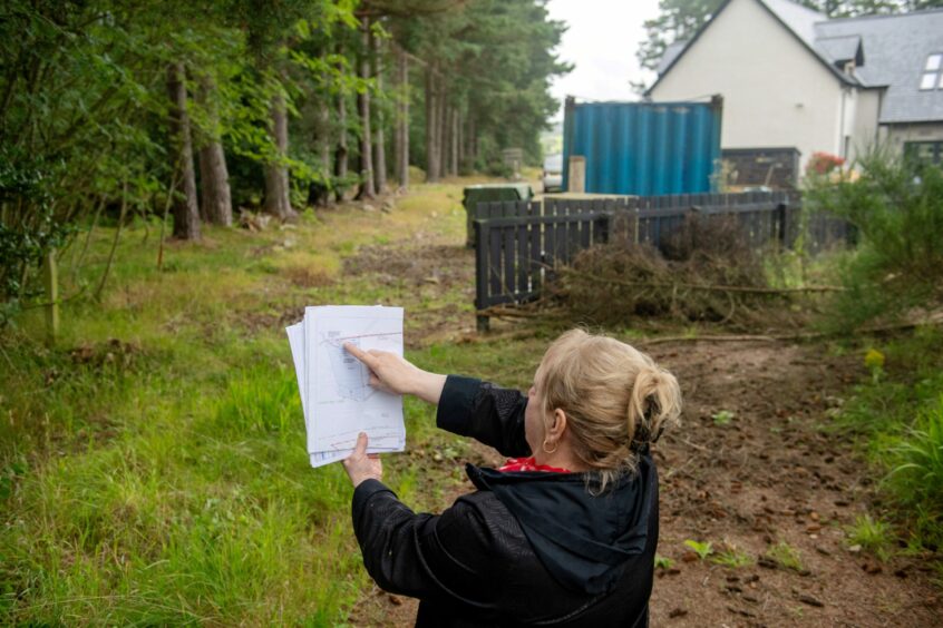
Janet Lees sold the land to the current owners, and is concerned that part of the area’s “history” could now be closed off to the public.

Ms Lees, who lives in Kemnay, said: “A thoroughfare for 300 years between Thainstone and Aquithie, it is a part of the area’s history.

“Not just unused rough ground for the taking, but a road for all to use, for at least three centuries.

“No longer will this be the case, if Mr Kennedy is granted this change of use, to use as a garden.

“Flat for walking and cycling on, this metalled road was really hard after many years of heavy use in past times.”

 A longtime resident nearby, Richard McGhee, said his family has lived in the area for generations and said the public should have right of access to the road. Image shows Richard McGhee on the old drovers road where branches have been dumped to make access more difficult.
Richard McGhee on the old drovers road where it appears branches have been dumped to make access more difficult. Image: Kath Flannery/DC Thomson

‘Frustrating’ to potentially lose track

Richard McGhee, 55, who lives nearby, said it is still a popular route which is now more used by walkers.

He added: “It’s been a well-preserved track and I know this for a fact because my family have been at the same house since the 1700s and the place has just been handed down and handed down and I’m the tenth generation.

“So nobody’s going to tell me the history of my place.

“It’s so frustrating.”

Janet Lees, who sold the land to the current owner, with maps of the area.
Janet Lees showing a map of the land and surrounding area. Image: Kath Flannery/DC Thomson

The Kennedy family declined to comment.

Conversation