Calendar An icon of a desk calendar. Cancel An icon of a circle with a diagonal line across. Caret An icon of a block arrow pointing to the right. Email An icon of a paper envelope. Facebook An icon of the Facebook "f" mark. Google An icon of the Google "G" mark. Linked In An icon of the Linked In "in" mark. Logout An icon representing logout. Profile An icon that resembles human head and shoulders. Telephone An icon of a traditional telephone receiver. Tick An icon of a tick mark. Is Public An icon of a human eye and eyelashes. Is Not Public An icon of a human eye and eyelashes with a diagonal line through it. Pause Icon A two-lined pause icon for stopping interactions. Quote Mark A opening quote mark. Quote Mark A closing quote mark. Arrow An icon of an arrow. Folder An icon of a paper folder. Breaking An icon of an exclamation mark on a circular background. Camera An icon of a digital camera. Caret An icon of a caret arrow. Clock An icon of a clock face. Close An icon of the an X shape. Close Icon An icon used to represent where to interact to collapse or dismiss a component Comment An icon of a speech bubble. Comments An icon of a speech bubble, denoting user comments. Comments An icon of a speech bubble, denoting user comments. Ellipsis An icon of 3 horizontal dots. Envelope An icon of a paper envelope. Facebook An icon of a facebook f logo. Camera An icon of a digital camera. Home An icon of a house. Instagram An icon of the Instagram logo. LinkedIn An icon of the LinkedIn logo. Magnifying Glass An icon of a magnifying glass. Search Icon A magnifying glass icon that is used to represent the function of searching. Menu An icon of 3 horizontal lines. Hamburger Menu Icon An icon used to represent a collapsed menu. Next An icon of an arrow pointing to the right. Notice An explanation mark centred inside a circle. Previous An icon of an arrow pointing to the left. Rating An icon of a star. Tag An icon of a tag. Twitter An icon of the Twitter logo. Video Camera An icon of a video camera shape. Speech Bubble Icon A icon displaying a speech bubble WhatsApp An icon of the WhatsApp logo. Information An icon of an information logo. Plus A mathematical 'plus' symbol. Duration An icon indicating Time. Success Tick An icon of a green tick. Success Tick Timeout An icon of a greyed out success tick. Loading Spinner An icon of a loading spinner. Facebook Messenger An icon of the facebook messenger app logo. Facebook An icon of a facebook f logo. Facebook Messenger An icon of the Twitter app logo. LinkedIn An icon of the LinkedIn logo. WhatsApp Messenger An icon of the Whatsapp messenger app logo. Email An icon of an mail envelope. Copy link A decentered black square over a white square.

Map shows the scale of fatal crashes in Aberdeen, Aberdeenshire and Moray in the last decade

Police figures reveal the number of people who have died on roads in the north-east in the last decade. Image: Chris Sumner / DC Thomson

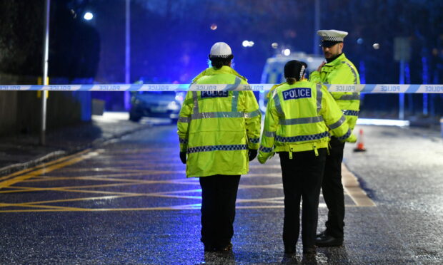
More than 230 people have died on roads across the north-east in the last decade.

Police Scotland records show 233 people have died at the scene of or as a result of a crash on roads in the North East Police Division between January 2012 and September 2022.

Figures obtained by the P&J show the largest number of crashes occurred in Aberdeenshire, where 152 people died in 143 crashes.

In Moray, 45 people died in 40 crashes while 36 people died in 34 crashes in Aberdeen City.

The number of fatal collisions decreased during the pandemic with fewer people out driving, and the highest number of deaths recorded in a single year was 2014 when 33 people died on the roads.

Most collisions resulted in one death, but the deadliest crash was in 2018 when a tourist, who was later jailed for three years, caused a crash killing five people on the A96 near Keith.

Our interactive map shows the location of every fatal crash in the last decade. You can zoom in, click on and pause the map for more information. 

This map pinpoints the locations of all fatal crashes in the last decade. 

From this map, it appears a large number of crashes occurred around Aberdeen, Elgin, Oldmeldrum and Peterhead.

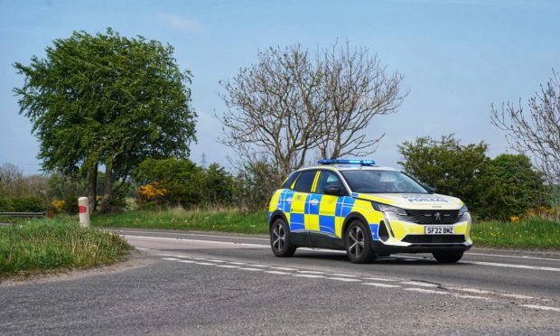
A high number of fatal collisions have also happened along the A96 Aberdeen to Inverness road, which is a driving force in the push to dual it. 


  • To find out the scale of incidents on the Highland’s roads, click here.

Conversation