New timelapse footage has revealed just how many cars, vans and motorbikes are going through the Schoolhill pedestrian zone in Aberdeen more than a year on from it being created.
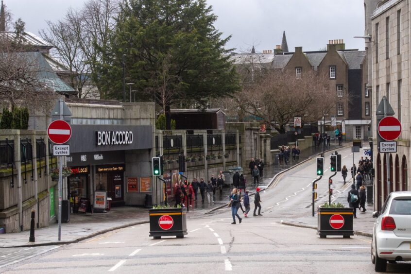
Since January 2023, the busy street has been shut off to general traffic between the junctions with Back Wynd and Flourmill Lane — or between Boots and Upperkrust.
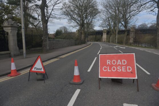
Aberdeen City Council workers first put up signs and painted cycling lanes, and later placed two large black planters at each end of the zone to deter people from driving through it.
General traffic is not allowed in the zone, except for loading from 4.30pm to 11am.
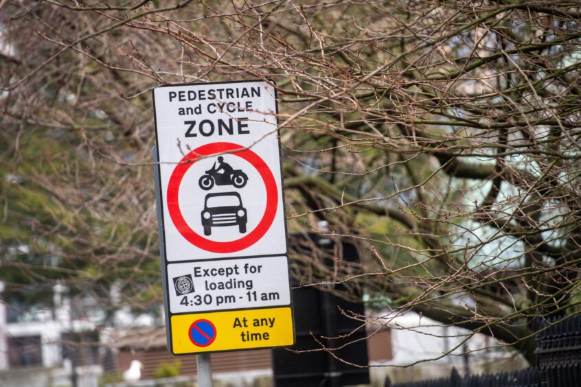
There is an eastbound, one-way only system in place for vehicles accessing the zone when permitted.
This means nobody can drive from Upperkirkgate along Schoolhill towards Rosemount at any time. Cyclists are allowed however.
Last March, our timelapse footage revealed 202 drivers had entered the pedestrianised area in eight and a half hours.
We wanted to see just how many people were still flaunting the road rules in a working day more than a year later.
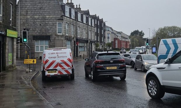
More than 100 vehicles drove through the Schoolhill pedestrian zone in eight hours
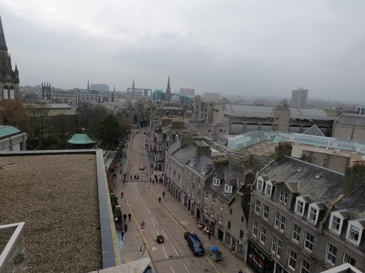
The Press & Journal office overlooks the busy street, and our videographer Callum recorded eight hours of timelapse footage covering either end of the walking and cycling zone on Thursday.
Here’s the footage taken between 8.21am to 4.37pm condensed into 8 minutes and 16 seconds.
Despite the signage and planters, you can see many lorries, cars and vans trundling along the off-limits area, or, in some cases, whizzing through.
Although loading is permitted at certain times, we noted a number of large vehicles stopping on Schoolhill for extended periods during times when loading is not allowed.
In total, we counted 104 vehicles that entered the zone.
The vast majority of them, 98, drove from west to east, or from the junction with Back Wynd and Harriet Street towards Upperkirkgate.
What does the video show?
During the eight-minute timelapse we counted:
- In total, 35 cars drive through the zone, with 33 driving from west to east.
- The most frequent offenders were van drivers — we counted 60 vans entering or going through the zone.
- We also spotted five taxis and three motorbikes entering the Schoolhill pedestrian zone, although they are also banned.
- Finally, a police car and van were spotted going through the zone at different times but did not have their blue lights on.
Some drivers parked at the barrier to nip into the shop they needed, while others could be seen to stop and realise the road was closed off before turning off onto either Back Wynd or Harriet Street.

While the number of people entering the zone has decreased since we last carried out the same experiment, it remains high considering the road rules have been in place for more than a year.
What about pedestrians and cyclists in the zone?
Throughout the timelapse video, there is a steady stream of pedestrians, particularly going between the Bon Accord and St Nicholas centres.
Most can be seen keeping to the pavements and crossing at the working set of traffic lights.
Some can even be spotted waiting for the traffic light to turn red before they cross the road, despite it being an ostensibly pedestrianised area.
Meanwhile, most cyclists do not appear to be using the painted cycle lanes with some either using the pavement or gliding down the middle of the road.
There are times you can see the cyclists swerving to avoid pedestrians crossing at the lights too, or maneuvering around vans and some stopped cars.
Why were the changes made to Schoolhill?
The council introduced these rules as part of a major shake-up of Aberdeen’s roads to make way for a bus priority system, without letting the public have a say first.
This was carried out under an Experimental Traffic Regulation Order (ETRO), which Transport Scotland says is a “very rarely used” process.
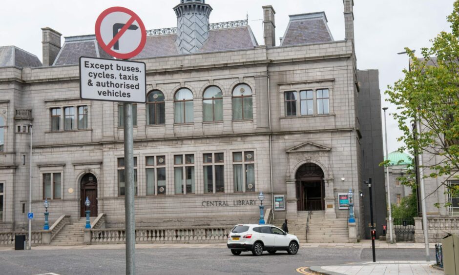
Also as part of the ETRO, three new bus gates were introduced as well as a ban on turning right from Union Terrace onto Schoolhill.
The city council only opened its official consultation to let the public have their say on July 24 last year, after work to implement the road changes had already started.
The six-month consultation ended on January 23, and there were 533 public responses made.
An Aberdeen City Council spokesman explained the police “support” the scheme, meaning patrolling officers enforce the road rules and there are no traffic cameras.
Right now, the consultation responses are being analysed by the council, but it is not clear if any changes will be made yet.

The council spokesman said: “We have looked to educate and inform people and businesses via a number of press releases and social media posts, including the preparation of maps and videos showing people the areas they can and cannot pass through.
“Given the nature of the order, we can make amendments to the scheme if required in response to any feedback received as part of the process.”
Watch our video of our experiment at Schoolhill last year here:
Schoolhill pedestrian zone: Video shows 200 drivers breaking rules

Conversation