Calendar An icon of a desk calendar. Cancel An icon of a circle with a diagonal line across. Caret An icon of a block arrow pointing to the right. Email An icon of a paper envelope. Facebook An icon of the Facebook "f" mark. Google An icon of the Google "G" mark. Linked In An icon of the Linked In "in" mark. Logout An icon representing logout. Profile An icon that resembles human head and shoulders. Telephone An icon of a traditional telephone receiver. Tick An icon of a tick mark. Is Public An icon of a human eye and eyelashes. Is Not Public An icon of a human eye and eyelashes with a diagonal line through it. Pause Icon A two-lined pause icon for stopping interactions. Quote Mark A opening quote mark. Quote Mark A closing quote mark. Arrow An icon of an arrow. Folder An icon of a paper folder. Breaking An icon of an exclamation mark on a circular background. Camera An icon of a digital camera. Caret An icon of a caret arrow. Clock An icon of a clock face. Close An icon of the an X shape. Close Icon An icon used to represent where to interact to collapse or dismiss a component Comment An icon of a speech bubble. Comments An icon of a speech bubble, denoting user comments. Comments An icon of a speech bubble, denoting user comments. Ellipsis An icon of 3 horizontal dots. Envelope An icon of a paper envelope. Facebook An icon of a facebook f logo. Camera An icon of a digital camera. Home An icon of a house. Instagram An icon of the Instagram logo. LinkedIn An icon of the LinkedIn logo. Magnifying Glass An icon of a magnifying glass. Search Icon A magnifying glass icon that is used to represent the function of searching. Menu An icon of 3 horizontal lines. Hamburger Menu Icon An icon used to represent a collapsed menu. Next An icon of an arrow pointing to the right. Notice An explanation mark centred inside a circle. Previous An icon of an arrow pointing to the left. Rating An icon of a star. Tag An icon of a tag. Twitter An icon of the Twitter logo. Video Camera An icon of a video camera shape. Speech Bubble Icon A icon displaying a speech bubble WhatsApp An icon of the WhatsApp logo. Information An icon of an information logo. Plus A mathematical 'plus' symbol. Duration An icon indicating Time. Success Tick An icon of a green tick. Success Tick Timeout An icon of a greyed out success tick. Loading Spinner An icon of a loading spinner. Facebook Messenger An icon of the facebook messenger app logo. Facebook An icon of a facebook f logo. Facebook Messenger An icon of the Twitter app logo. LinkedIn An icon of the LinkedIn logo. WhatsApp Messenger An icon of the Whatsapp messenger app logo. Email An icon of an mail envelope. Copy link A decentered black square over a white square.

SoilEssentials launches new improved farm mapping system

Drivers of agricultural vehicles in Keith are being urged to drive with care

Scottish precision agriculture company SoilEssentials is launching a new version of its online farm mapping system later this year.

The company, which is based at Hilton of Fern, near Brechin, will showcase the new version of EssentialsMap at this year’s Cereals event and at the Royal Highland Show.

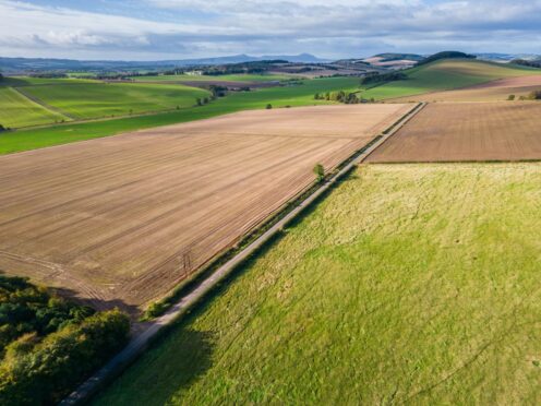
EssentialsMap, which was first launched in 2012, is an online farm mapping system that allows producers to manage spatial farm data such as soil sampling, yield mapping and variable rate map production.

The new version has been developed as part of a research project known as KORE – Knowledge, Observation, Response, Evaulation – with co-funding from the European Space Agency.

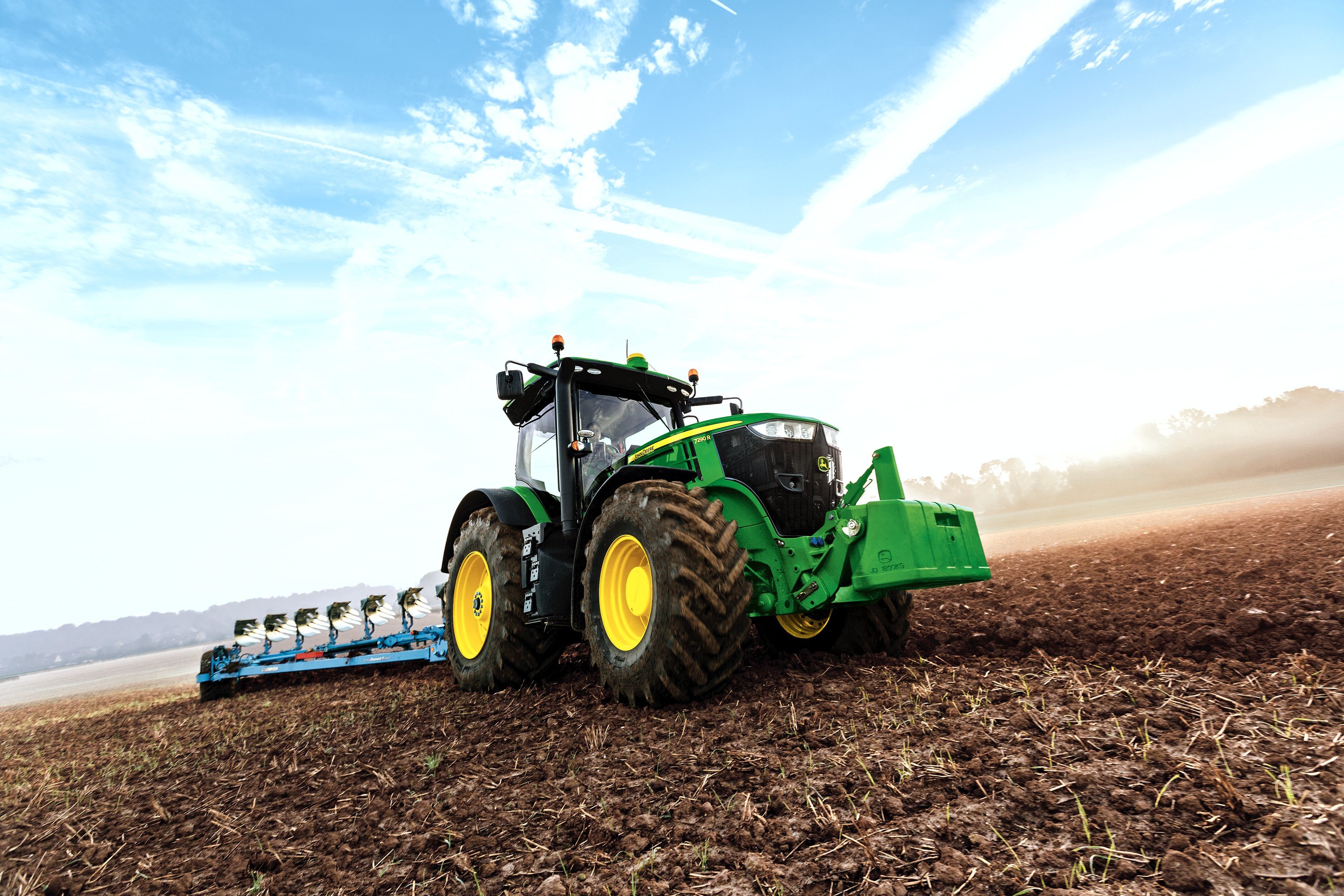
The project developed a platform to combine earth observation data from a variety of sources including the space agency’s new Sentinel satellites, drone imagery and tractor-mounted sensors.

The remote-sensed imagery is captured at a range of scales from centimetre level for drones, one to 20 metres for satellite imagery and tramline width for tractor-mounted sensors.

SoilEssentials managing director, Jim Wilson, said: “Our aim with the KORE project and the new version of EssentialsMap was to create a unique white box web platform for agronomists to re-brand and tailor to their, and their customers’ own needs. We also wanted to dramatically improve the reliability and usability of remote-sensed imagery and we have achieved that with the seamless integration of multiple providers of satellite imagery, UAV images and tractor mounted sensors.”

He said the new version of the online tool was also the first cloud-based farm management system to be integrated with Trimble’s Connected Farm which allows variable rate application maps to be sent directly to the user’s Trimble console without using a USB stick.

The company is holding an open day to discuss its technologies later this month.

The event, which takes place on Tuesday May 24 at the Finavon Hotel near Forfar, runs from 10am to 4pm.

It will feature in-field activities and indoor demonstrations.