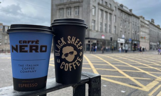
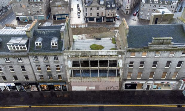
The state of our high street is one of the most talked about things in Aberdeen.
The last few years have been tough on businesses, and it’s had a significant impact on the landscape of the city centre.
After a pandemic and cost of living crisis, the Press and Journal data team set out to check the health of our high streets – and create maps of some of the biggest retail hotspots.
We’ll be tracking these areas moving forward, to be able to pinpoint how our city centre is changing.
To keep track of everything, we’ve drawn out and mapped each unit in several of Aberdeen’s main shopping streets, to show which units are occupied, and which currently lay vacant.
Each map shows a street in the city centre, with a number of shop units on the ground floor level drawn out, colour coded by their occupation status.
By hovering over each unit, you will be able to access further information, such as the name of the business that currently occupies the unit, as well as what type of business it is.
For those that are currently empty, hovering over the unit will give information about what used to be in that site, as well as roughly how long it has been closed for.
With this data, we aim to give an overview of the high streets in Aberdeen, the shops that are open, and the types of units that occupy them.
Shops in Aberdeen
We’re also tracking the vacancy rates of the streets as businesses come into and leave each area – as well as what the average vacancy rate currently is.
We’ve also tracked the different categories of unit, so you can see exactly the type of units we have.
Union Street shops
Union Street is Aberdeen’s main shopping street, at a mile long from Castlegate to Holburn Street.
In recent months, there’s been a push to regenerate the area and bring it “back to life”.
The below map shows the units on Union Street.
George Street shops
George Street has something for everyone, from hairdressers to regional food shops, shops and restaurants.
The below map shows the units on George Street, from the Bon Accord Centre to its junction with Hutcheon Street.
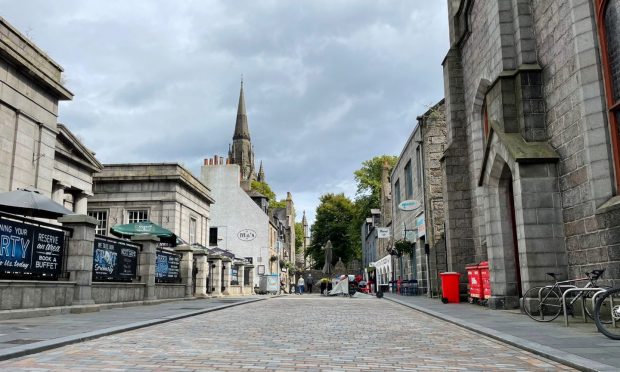
Schoolhill, Belmont Street and surrounding areas
Although one of the busiest areas in the city for nightlife, you’ll also find a range of shops, cafes and more in this popular area.
The below map shows the units on Upperkirkgate, Schoolhill, Belmont Street, Back Wynd, Little Belmont Street and Gaelic Lane.
Thistle Street and Chapel Street
Aberdeen’s West End is home to a number of independent shops and cafes, and is the place to go if you’re looking for something a little bit different.
The below map shows the units on Thistle Street, as well as some of the units on Chapel Street, up to the hotel.
Interested in the data for shopping centres? We have also tracked data for both sides of the Bon Accord Centre, Union Square and the Trinity Centre.
Methodology
This data was all collected manually, and therefore is all estimated. Each unit was drawn out using Geojson.io in an approximation of unit shape, but may not be the full size. From there, an on foot census was carried out for each shop to determine which were occupied and which were vacant.
Vacant units were then checked to see what was previously in that space, using a mixture of newspaper articles and archives, Google Maps and other various sources such as review websites. As such, some of the dates given for stores may not be fully accurate, as Google Maps data was taken from the last date given that the store was open.
Can you help us keep our tracker up to date?
All of the data included within our high street tracker is collected manually by the data team and reporters in Aberdeen, and includes units opening and closing we’ve written articles on, as well as things we’ve noticed while out on foot in the area. Our last open dates may be estimates based on the best information we could find.
But we know we might not always spot everything, or get every closure date right.
We appreciate all the support we’ve received for our trackers so far, and would love if you would like to help us keep it up to date.
If there’s anything you spot opening or closing you’d like us to know about, or if you have more accurate information on closing dates of units or what the last business to occupy a unit was, you can let us know using the form below.